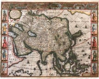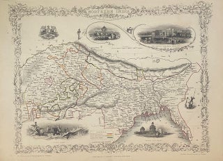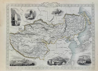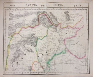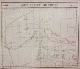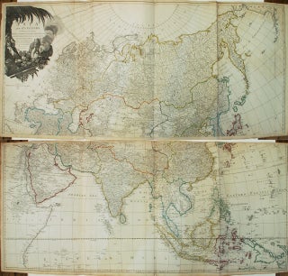
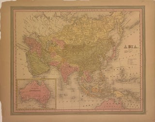
Asia and its Islands According to d'Anville; Divided into Empires, Kingdoms, States, Regions, etc...
London: Laurie & Whittle, 1794. Map. Engraving with hand coloring. Together measure 42" x 48". This informative late 18th-century wall map of Asia is based on the cartography of the famous French cartographer Jean Baptiste Bourguignon D'Anville. He was particularly interested in the Far East, making exact studies from many sources, and including the excellent contributions made by Jesuit missionaries to China and Indonesia. It is interesting to note the Asiatic royal leader in the cartouche with an opium pipe..... More
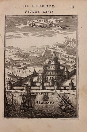
![Item #303240 De L'Europe Figure LXVIII [Istanbul]. Allain MANESSON-MALLET](https://argosybooks.cdn.bibliopolis.com/pictures/303240.jpg?width=320&height=427&fit=bounds&auto=webp&v=1635280232)
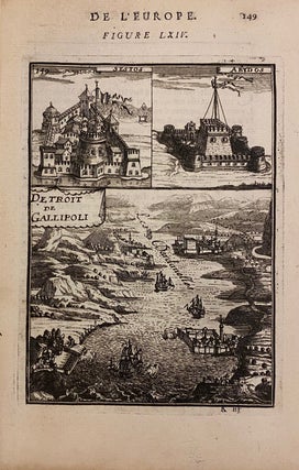
![Item #272805 [Lemnos. Hellespont]. George SANDYS](https://argosybooks.cdn.bibliopolis.com/pictures/272805.jpg?width=320&height=427&fit=bounds&auto=webp&v=1485291158)