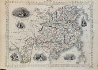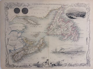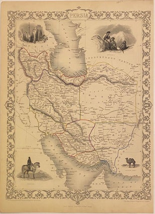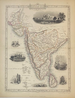
Asia Minor
London: Tallis, John, 1857. Map. Steel engraving with modern coloring. Image measures 10 1/4" x 12 3/4" This map of Turkey and the Middle East covers the regions between the Black Sea and Mediterranean, extending from Constantinople to Raqqa. The region is abundantly labeled with the names of cities, rivers, roads, and topographical features. The decorative vignettes, illustrated by H. Warren and engraved by J. H. Kernot, depict Olympus and Rhodes. An illustration of figures in traditional dress, and a...... More