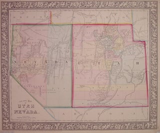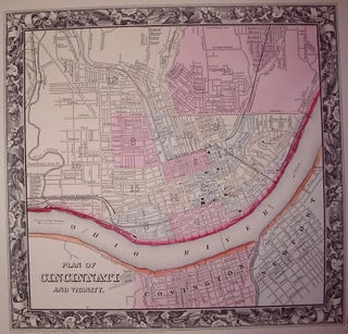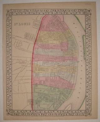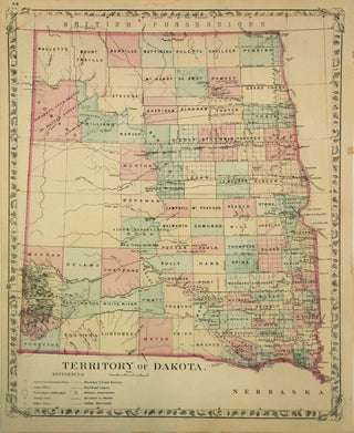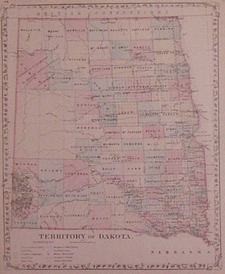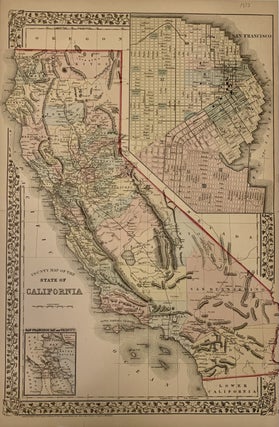
County Map of the State of California
Philadelphia: Mitchell, Samuel Augustus Jr., 1873. Map. Steel engraving with original hand coloring. Image measures 21 1/4" x 14 1/2 inches. Beautifully detailed double page map of California divided into early county borders, showing major towns and cities, routes, railroads and waterways. Includes two insets of San Francisco-one the bay and its vicinity and the other a city plan. Chips to margins, otherwise in good condition. Plate 52 in margin. Samuel Augustus Mitchell Sr. (1792-1868) was one of the leaders..... More