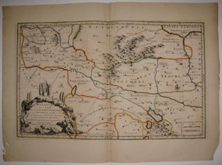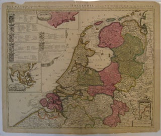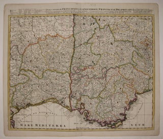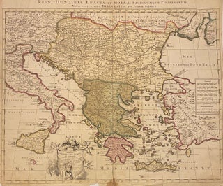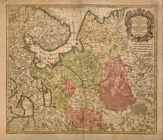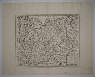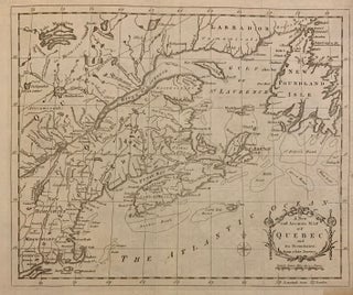
Colchis, Iberia, Albania quaeg; Caucasiae Gentes, Isthum qui Pontum Euxinum Caspiumq; Mare Interjacet, Incolunt.
Amsterdam: Mortier, Pieter, 1723. Map. Engraving with hand outline. Image measures 14" x 18.75". Beautifully detailed map showing the area between the the Black and Caspian Seas including modern day Russia, Georgia, Azerbaijan, Armenia and Turkey. Full original margins have minor stains. Based on the plates by Nicolas Sanson (1600-1667) who is considered the founder of the French school of cartography. In reaction to the prevailing trend of Dutch lavishness, Sanson favored minimal details, focusing rather on accurate cartography than..... More