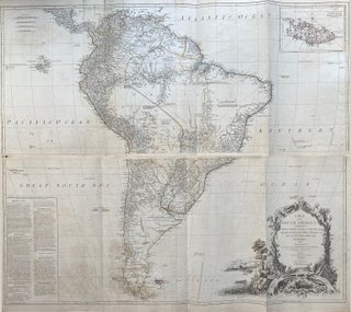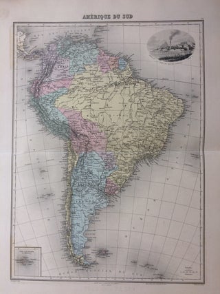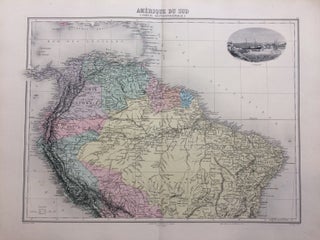
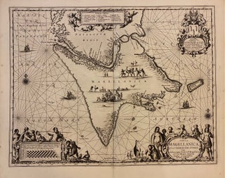
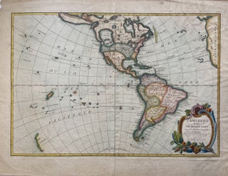
A Chart of the Coast of Brazil and Guiana in America: with Part of the Caribbe Islands
James and John Knapton, 1728. Sea Chart. Colored engraving. Sheet measures 21 1/4" x 25". Image measures 19 1/2" x 23 1/2". This stunning map of the western hemisphere depicts Guiana and Brazil in South America presented on Edward Wright's projection, also called a globular projection. It features rhumb lines to facilitate navigation. The map focuses more on the coastlines rather than the interiors. This chart was made for the 1728 issued of "Atlas maritimus & commercialis, or, A general..... More

![Item #263226 [Untitled] Spaniards and Indians. Jorge JUAN, Antonio DE ULLOA](https://argosybooks.cdn.bibliopolis.com/pictures/263226.jpg?width=320&height=427&fit=bounds&auto=webp&v=1442438141)