
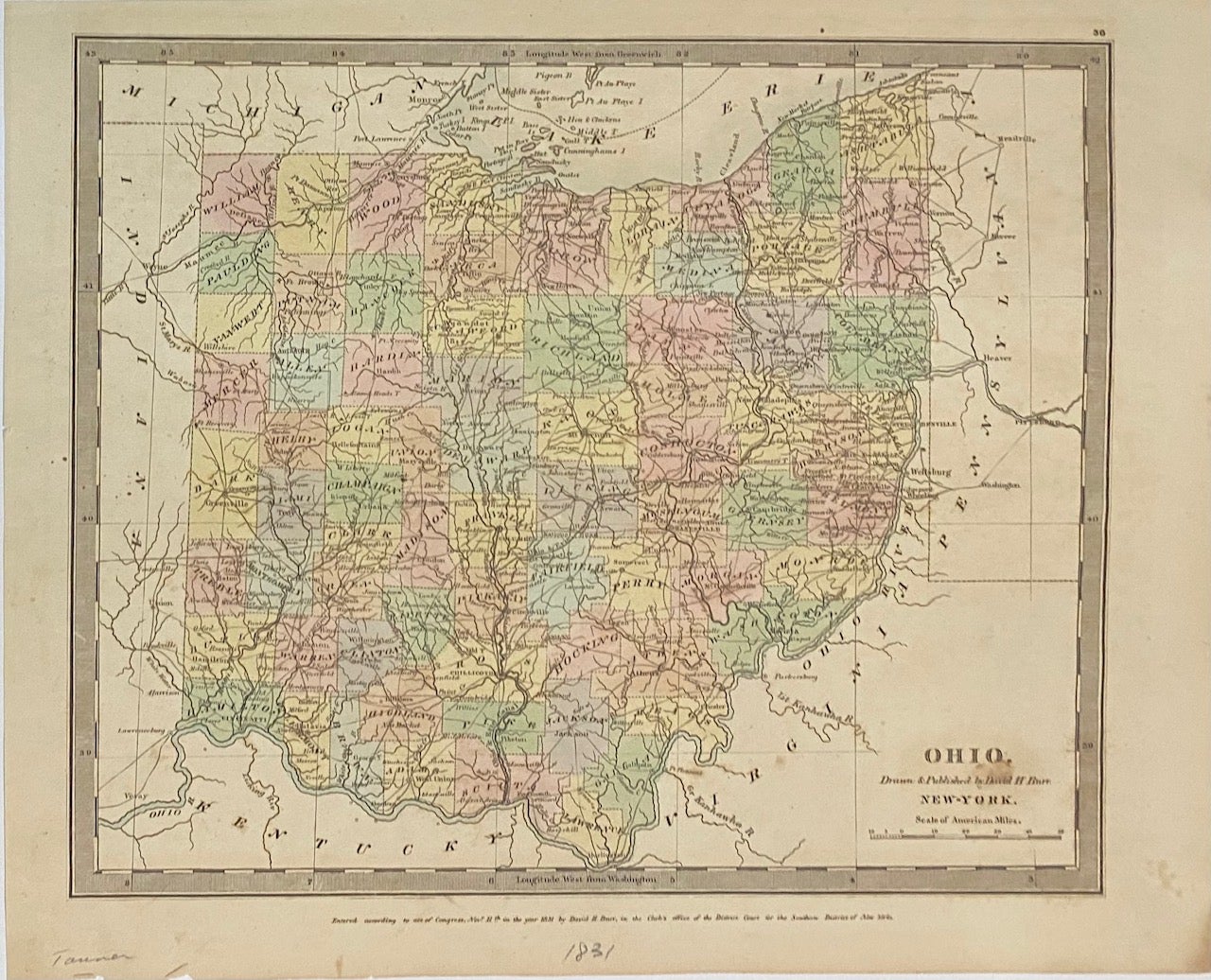
Ohio
New York: D.H. Burr, 1831.
Map. Engraving with original hand coloring. Image measures 10.5" x 13".
Early map of Ohio with beautiful coloring divided into counties. Shows towns, major routes, waterways and topographical features. Foxing and toning throughout.
David H. Burr (1803-1875) served as Topographer to the United States Post Office and Geographer to the House of Representatives and was widely known for his accuracy and attention to detail. His "Universal Atlas" was the first to map each of the United States individually.
Binding: Unbound
Language: English
Price: $300.00
Item #313484
See all items by David H. BURR