
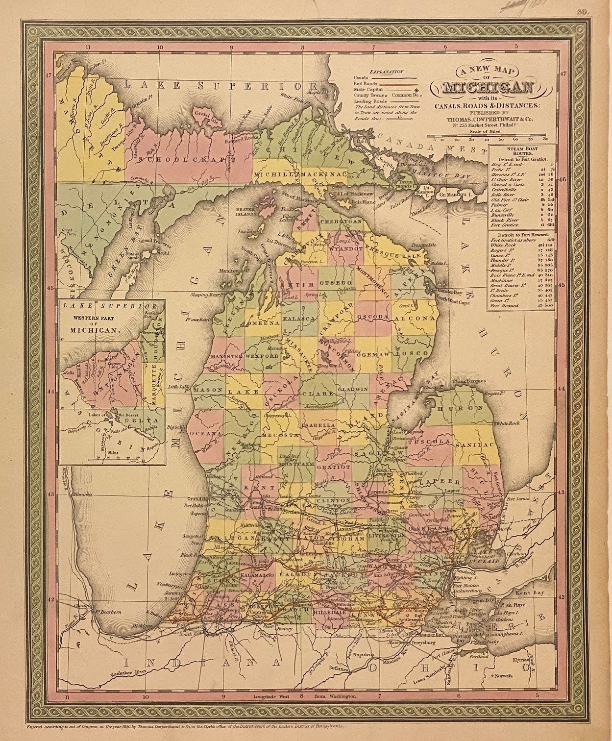
A New Map of Michigan with its Canals, Roads, & Distances
New York: Thomas, Cowperthwait & Co., 1854.
Map. Engraving with original hand coloring. Image measures 15" x 11 3/4"
Classic map of Michigan divided into counties. Shows cities, major routes, rivers, canals, and railroads. Includes inset of the Western Part of Michigan and a table of steam boat routes. A few small tears to edges.
Thomas, Cowperthwait & Co. took over publication of S. A. Mitchell's important "Universal Atlas" in 1850, and continued to produce updated maps that were considered some of the best commercial cartography of the 19th century.
Binding: Unbound
Language: English
Price: $165.00
Item #310818
See all items by COWPERTHWAIT THOMAS, Co