
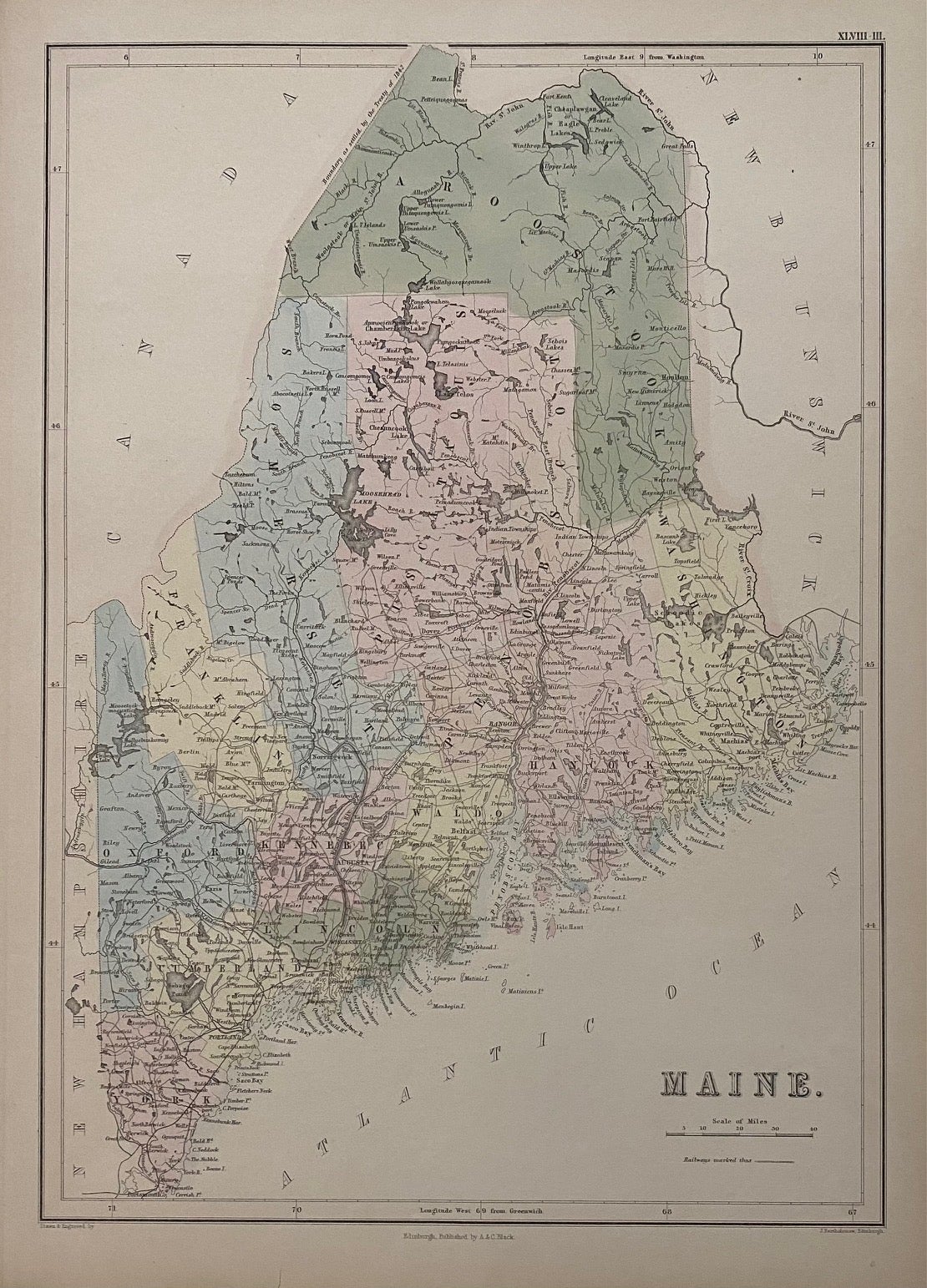
Maine
Edinburgh: A. & C. Black, 1854.
Map. Engraving with original hand coloring. Image measures 15" x 10 1/4"
This lovely map of Maine was published in 1854 in Black's General Atlas of the World. The map is labeled in great detail, showing rivers, towns, mountains, and coastal features. Delicately hand-colored to show counties. This copy is State I of this map. "Although the Black's General Atlas of the World appeared in many editions between 1840 and 1860, a separate map of Maine was included in only the editions of 1854 or later." Black's later editions are printed using lithography, making this current edition the only one to be engraved and colored by hand (Thompson 159). The map is in excellent condition. Closed tear to lower margin, not affecting the image.
Adam Black (1784-1874) was a Scottish publisher and politician who, with his brother Charles, founded the A & C Black publishing company. Together they published a wide range of materials, including atlases, medical books, and the 7th, 8th and 9th editions of the Encyclopedia Britannica.
Illustrator: Bartholomew, J.
Binding: Unbound
Language: English
Price: $100.00
Item #310383