
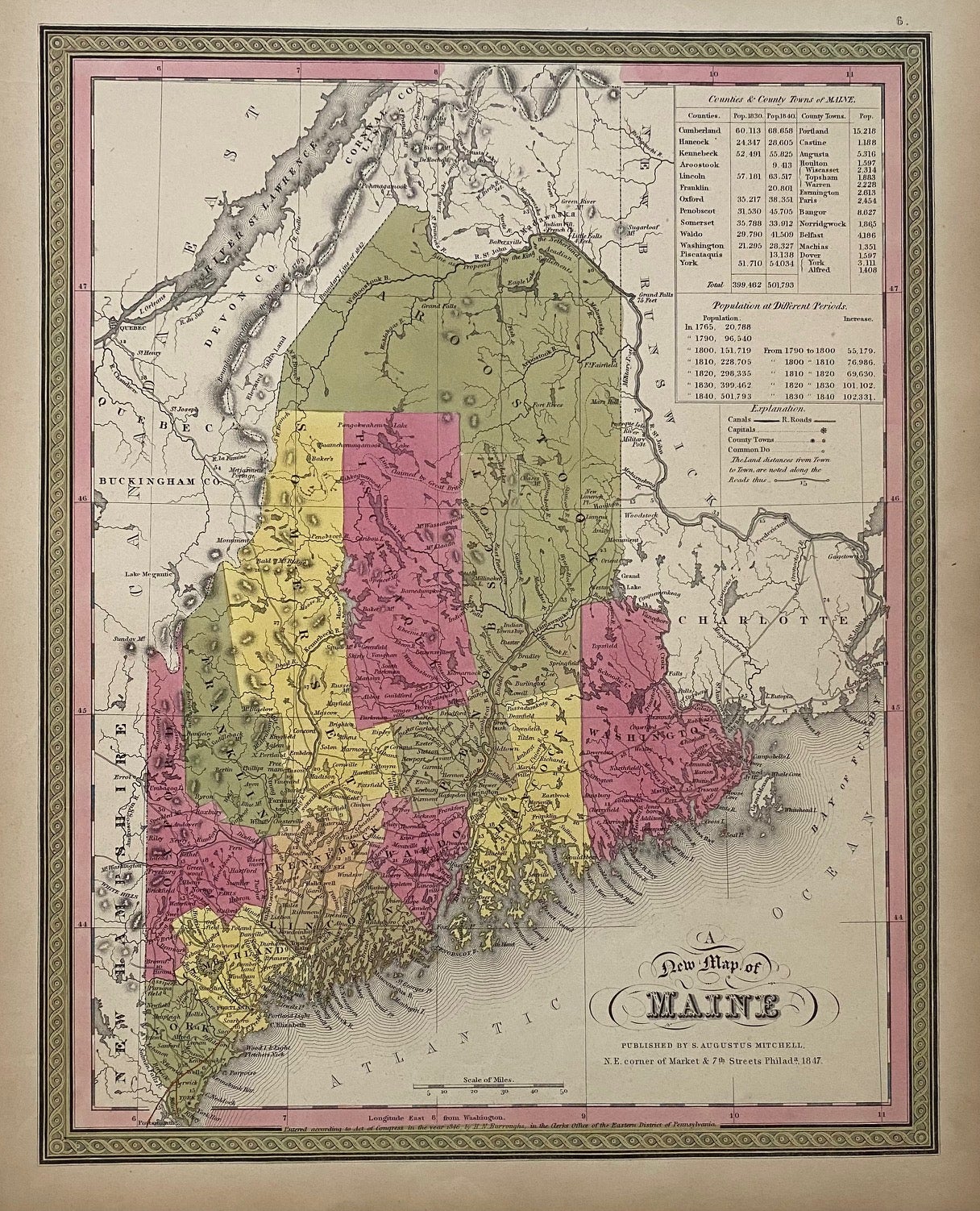
A New Map of Maine
Philadelphia: S. A. Mitchell, 1847.
Map. Lithograph with original hand coloring. Image measures 14 7/8" x 12".
Excellent map of Maine showing all counties, railroads, major routes and waterways. Two tables at the top of the page list population over time. Small chips to lower margin not affecting the image. From the 1847 edition of Mitchell's seminal New Universal Atlas. This is State XII of this map (Thompson 84).
Samuel Augustus Mitchell Sr. (1792-1868) was one of the leaders in American cartography of the 19th century and pioneered the conversion of engraved map plates to more affordable lithographic plates. His son, Samuel Augustus Mitchell Jr. continued his father's successful mapmaking and publishing business, and was one of the most prolific and renowned 19th century American publishers.
Binding: Unbound
Language: English
Price: $165.00
Item #310373