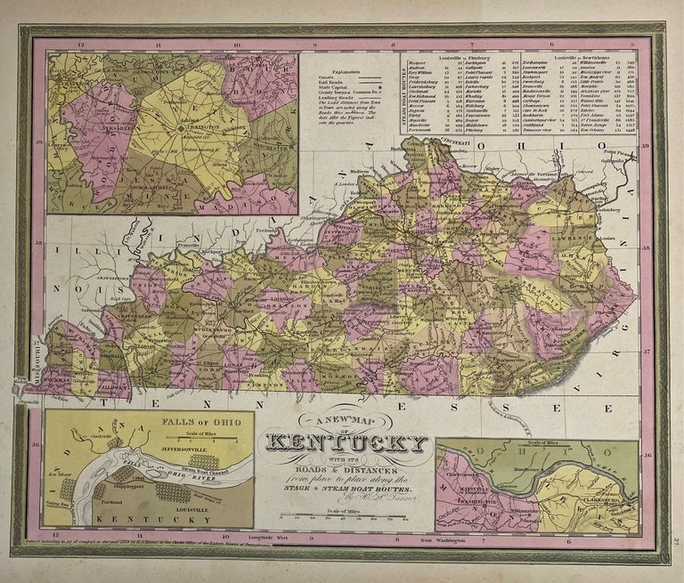
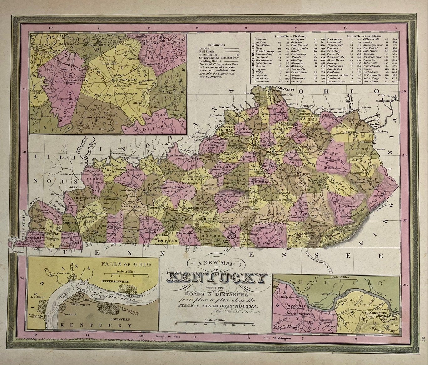
A New Map of Kentucky with its Roads and Distances from place to place along the Stage & Steam Boat Routes
Philadelphia: H.S. Tanner, 1839.
Map. Engraving with hand coloring. Image measures 11 1/4" x 13 1/2"
Beautiful map of Tennessee divided into counties and townships. Shows towns, waterways, major routes and geographic features. Includes insets showing the Falls of Ohio, the city of Lexington and vicinity, and of Mason and Lewish counties along the Ohio River. A table in the upper right shows steam boat routes from Louisville to Pittsburgh, and Louisville to New Orleans.
Henry Schenck Tanner (1786-2858) was an American cartographer and statistical geographer. Born in New York, he moved to Philadelphia where he established his well-known publishing company with his brother. Tanner was the first American to publish a map of Texas, which subsequently went through eight editions. However, he is best known and most renowned for his New American Atlas.
Binding: Unbound
Language: English
Price: $200.00
Item #310205