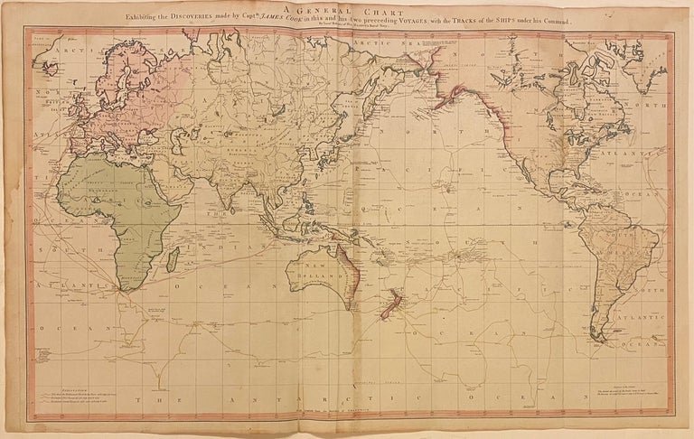
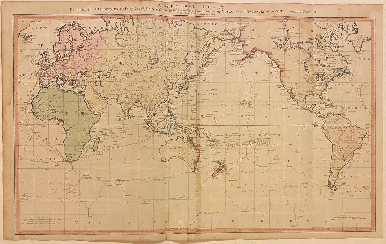
A General Chart Exhibiting the Discoveries made by Capt. James Cook in this and his two preceeding Voyages with the Tracks of the ships under his Command
London: William Faden, 1797.
Map. Engraving with original hand coloring. 23" x 37"
This scarce and important world map features the routes of Captain Cook's three voyages. Centered on the Pacific Ocean and using the Mercator projection, Roberts delineates the track of the Endeavour from 1768-1771, Resolution's first voyage from 1772-1775, and her second voyage from 1776-1780. Notations along these tracks include observations from Cook's travels. The continents are also rendered in beautiful detail, with special attention given to coastlines, rivers, and islands. Roberts chooses to omit topographical details from the map, and instead includes notations describing some mountain ranges and deserts. Regions are labeled but lack borders, and inland details are overall sparse. The Northern extent of Russia, North America, and Greenland are also missing. The regions on either side of the Bering Strait are colored to indicate discoveries attributed to the British or the Russians. This map is in very good condition, with toning along original fold lines, and a damp stain to the upper left corner. Folded as issued.
William Faden (1750-1836) was an 18th century English cartographer, engraver, mapseller, and publisher as well as 'Geographer to His Majesty & to his H.R.H. the Prince of Wales, George III & George IV. This is a beautiful example of his work.
Language: English
Price: $2,750.00
Item #309583