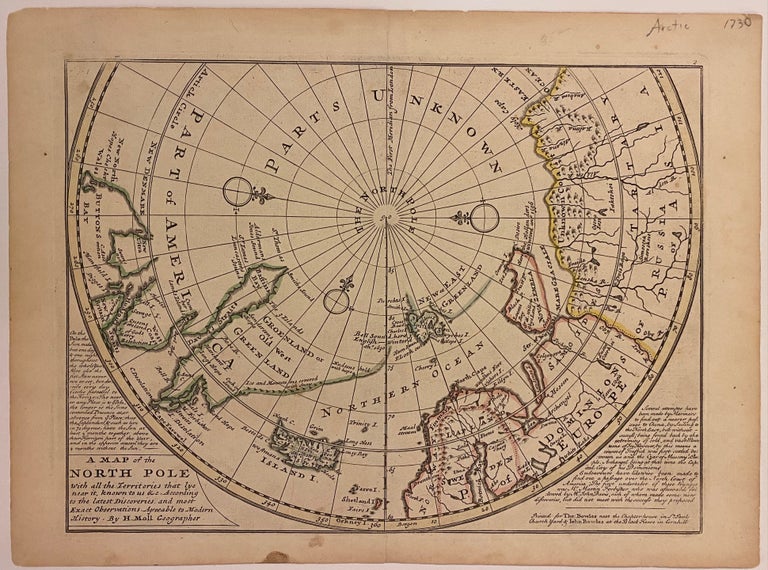
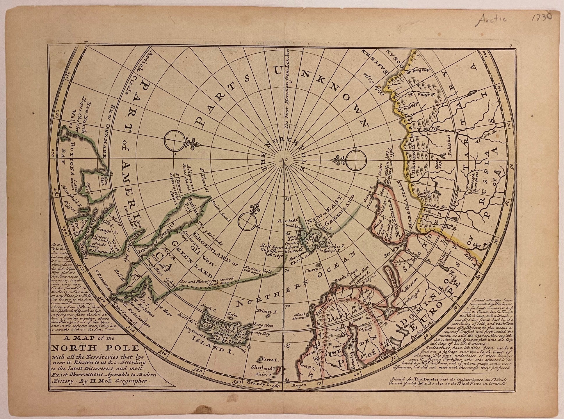
A Map of the North Pole with all the Territories that lye near it, known to us & c.
London: Thomas Bowles.
Map. Engraving with original hand coloring. 9" x 18". Shows verso repair along one of two original fold lines, otherwise in very good condition.
Beautiful 1730 chart of Arctic Circle depicting the eastern half of North America, northern Europe, and northern Asia. Notations describe European voyages to the region. A route from Japan to Porto, Portugal is depicted.
Herman Moll (c. 1654-1732) settled in London in the 1670's where he worked as an engraver for Moses Pitt. By the turn of the century, Moll became the foremost map publisher in England, where he produced Atlases and maps. As an engraver, cartographer, mapseller and globemaker he appealed to the public with his unusual views and vignettes. As the demand for his work was sustained, he issued many revised editions of his work.
Binding: Unbound
Language: English
Price: $365.00
Item #309066