
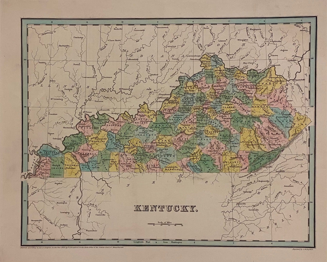
Kentucky
Boston: Bradford, Thomas Gamaliel, 1838.
Map. Engraving with hand-colored outline. Image measures 11 3/8" x 14 1/2"
Early map of Kentucky divided into counties. Shows towns, waterways, railroads and topographical details. In very good condition. Minor wear to margins, not affecting the image.
T.G. Bradford (1802-1887) was a Boston based publisher. He worked as assistant editor of the American Encyclopedia before entering the field of map making.
Illustrator: Boynton, G.W.
Binding: Unbound
Language: English
Price: $225.00
Item #306079
See all items by Thomas Gamaliel BRADFORD