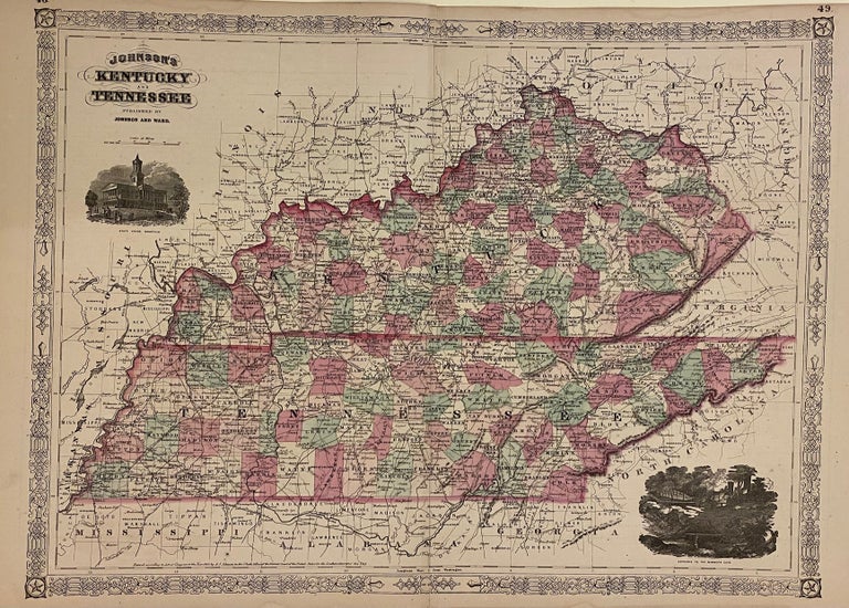
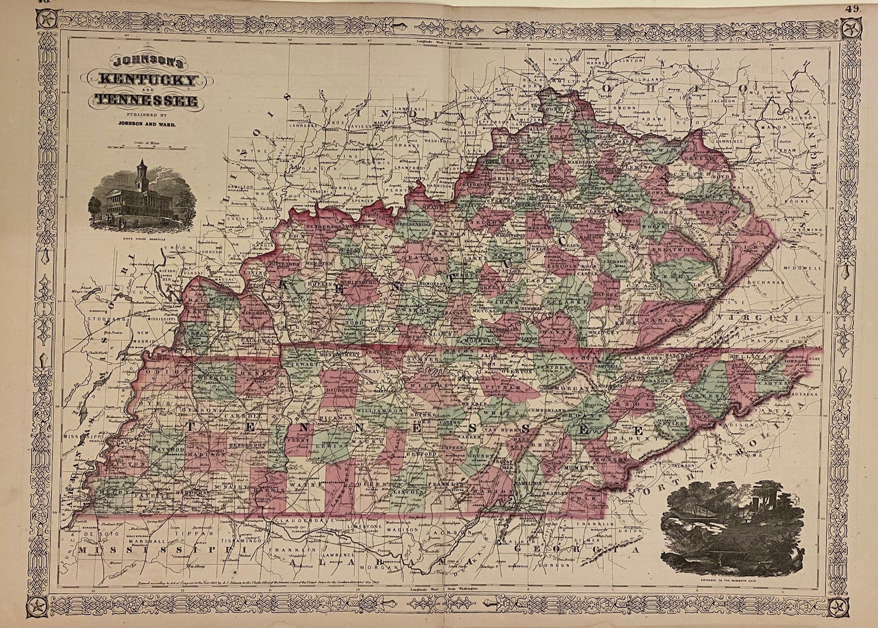
Johnson's Kentucky and Tennessee
New York: A. J. Johnson, 1866.
Map. Engraving with original hand coloring. Image measures 17 1/2" x 24".
Beautifully colored double-page map of Kentucky and Tennessee. Delineates counties, towns, major routes, waterways and railroads. Includes vignettes "State House Nashville" and "Entrance to the Mammoth Cave".
Alvin Jewett Johnson (1827-1884) is one of the most prolific American publishers of the 19th century. He opened his own company in 1856 that produced atlases, maps and encyclopedias. The company made great maps based on those by J.H. Colton and Johnson produced a newly updated version every year up until the late 19th century.
Binding: Unbound
Language: English
Price: $125.00
Item #306073