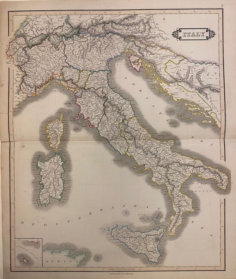
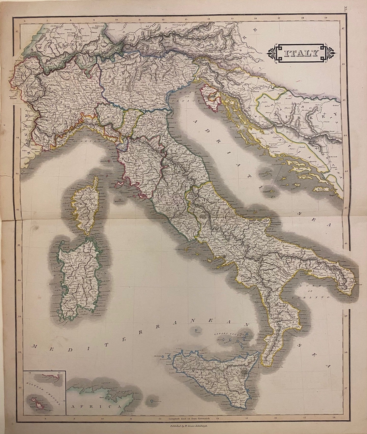
Italy
Edinburgh: W. Lizars, 1842.
Map. Hand colored engraving. 18 3/4" x 22 1/4".
Beautiful 19th century map of Italy, colored to depict the kingdoms and states. Extends from the Swiss Alps to Sicily, showing the islands of Sardinia and Corsica, as well as the Dalmatian coast and parts. At the time of publication, the northeastern region was under control of the Austrian Empire, including Dalmatia and Istria; and the northwest region controlled by the Kingdom of Sardinia, including the Comte de Nice and Duche de Savoie. Highly detailed with notations for towns, rivers, mountains, forests, etc. A small inset in the lower left corner shows the islands of Malta.
William Home Lizars (1788--1859) was an engraver and painter based in Edinburgh. After the death of father, Daniel Lazars, he took up the family engraving business and expanded into etching and copperplate printing. This lovely map is a fine example of his work.
Language: English
Price: $175.00
Item #305268