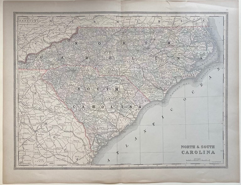
North and South Carolina
Philadelphia: William M. Bradley & Bros, 1888.
Map. Lithograph. Sheet measures 19" x 24 5/8"
A beautiful, clear railroad map of the Carolinas showing counties, major routes, towns, and waterways. In excellent condition.
William M. Bradley & Bros. was a 19th-century cartographic publisher based in Philadelphia. The firm is best known for publishing the later editions of Mitchell's "New General Atlas", where this map appeared.
Binding: Unbound
Language: English
Price: $175.00
Item #303715
See all items by William M. BRADLEY