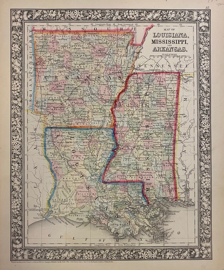
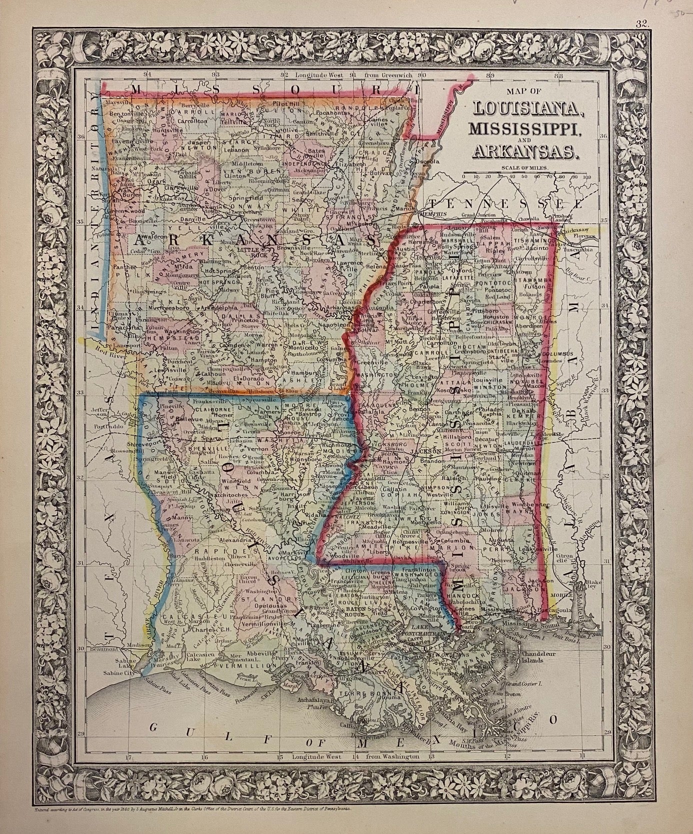
Map of Louisiana, Mississippi, and Arkansas.
Philadelphia: Mitchell, Samuel Augustus Jr., 1866.
Map. Engraving with original hand coloring. Image measures 13 1/2" x 10 3/4".
Nice map of Louisiana, Mississippi and Arkansas divided into counties. Shows towns, major routes and waterways. Minor chips and tears to margin, not affecting the image.
Samuel Augustus Mitchell Sr. (1792-1868) was one of the leaders in American cartography of the 19th century and pioneered the conversion of engraved map plates to more affordable lithographic plates. His son, Samuel Augustus Mitchell Jr. continued his father's successful mapmaking and publishing business, and was one of the most prolific and renowned 19th century American publishers.
Binding: Unbound
Language: English
Price: $75.00
Item #302552