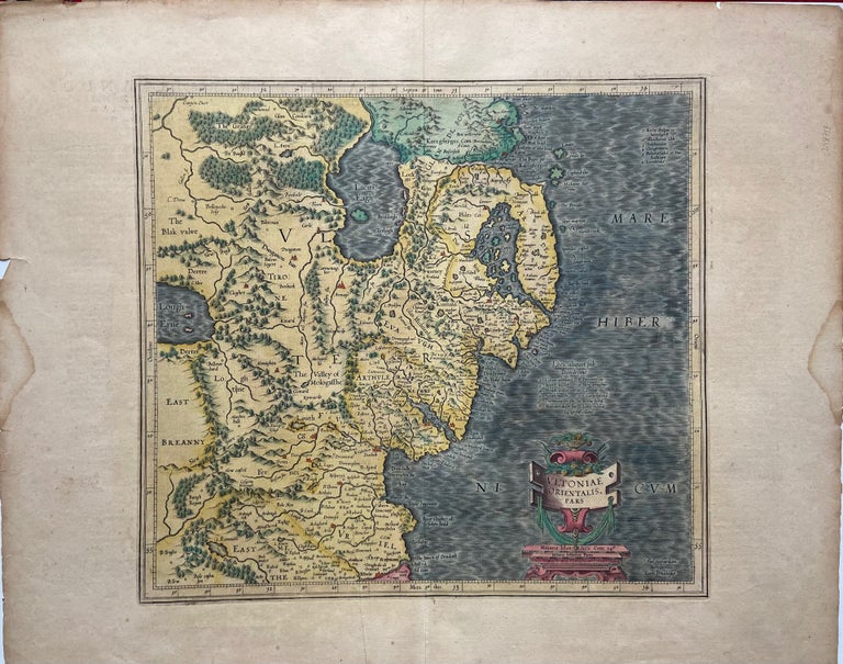
Ultoniae Orientalis Pars
Amsterdam: Jodocus Hondius, 1612.
Map. Engraving with hand coloring. Image measures 13 1/4 x 15 inches. Sheet measures 18 x 22 inches. Stains and chips to margins but otherwise in good condition.
Beautiful map of the eastern part of Ulster, featuring Down and Antrim Counties in Northern Ireland. Mercator's famous moire pattern in the sea is used and relief is shown pictorially. The map appears in the French edition of the Mercator-Hondius Atlas.
Gerard Mercator (1512-1594) was an accomplished mathematician, cartographer, globe maker and engraver but is best known for the Mercator Projection. Incorporating the newly accepted fact that the world is round, Mercator was able to render longitude lines consistently straight on a chart. Although this requires some distortion, it was of great use for navigators, and is historically important, as it is still the most commonly used projection today. Originally created by Mercator, this plate was later added to by Hondius.
Binding: Unbound
Language: Latin
Price: $450.00
Item #298717