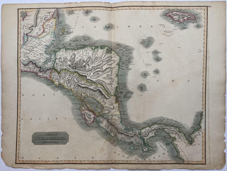
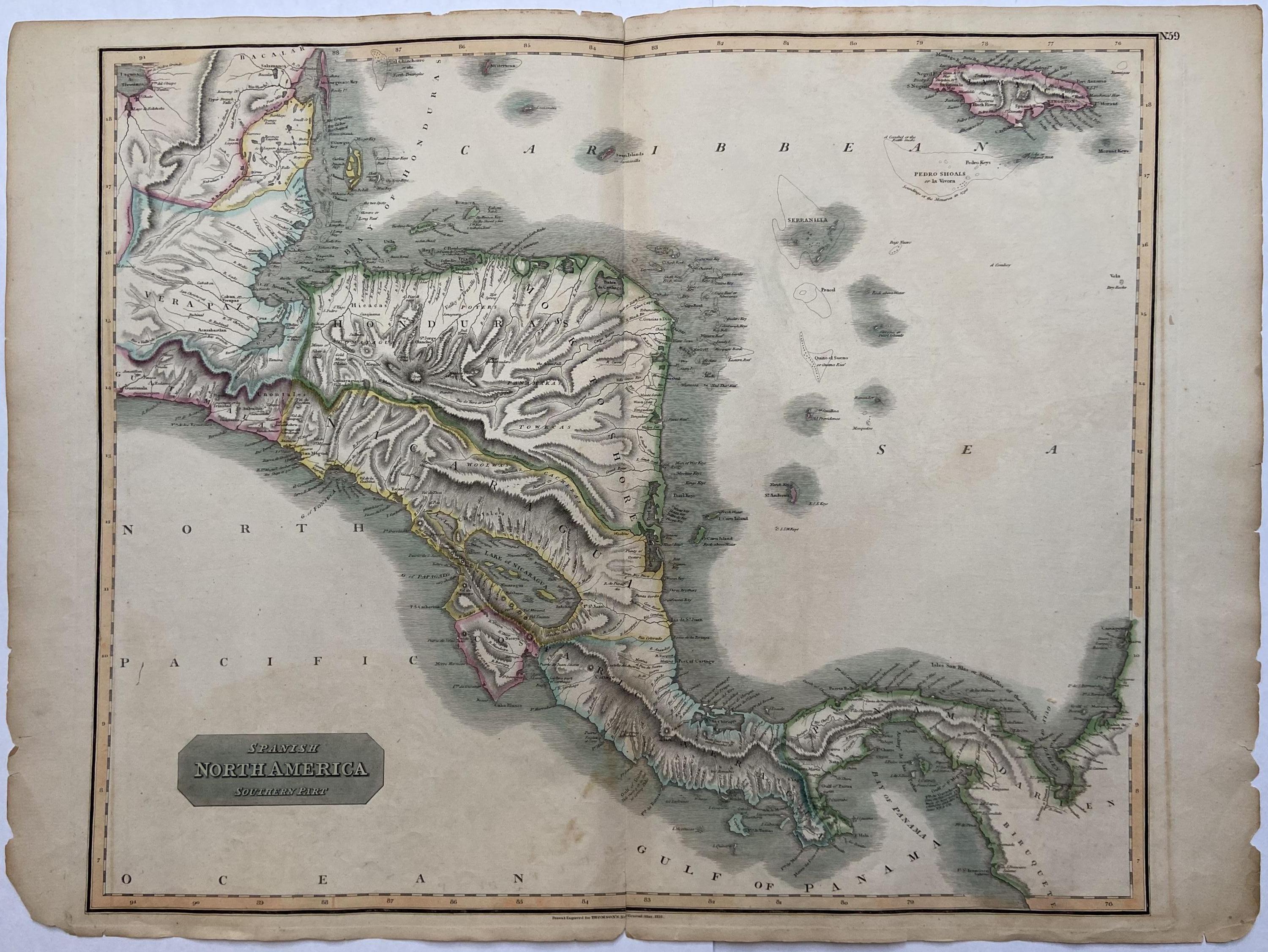
Spanish North America; Southern Part
Edinburgh: John Thomson.
Map. Engraving with original hand coloring. Image measures 20.5" x 24.75". Sheet measures 29" x 21.5"". In good condition with minor wear along the original centerfold and minor foxing. Original plate mark is visible.
Large scale map from 1816 by John Thomson covers Central America. It extends from the southeastern border of Mexico to the Darien gap bordering present-day Colombia, featuring Jamaica and other smaller islands in the Caribbean. Country borders are hand colored. The map appears in Thompson's circa 1816 edition of "New General Atlas". John Thomson (1777 - 1837) was a Scottish bookseller and publisher active in the early 19th century, who was one of the leaders in Europe who favored detailed and accurate mapping over the decorative and elaborate cartouches that appeared in earlier maps. His most important work was "Thomson's New General Atlas" and his "Atlas of Scotland". Although he went into bankruptcy twice during his career, his maps are today highly desirable for their scale and detail. This is beautiful example of his work.
Binding: Unbound
Language: English
Price: $265.00
Item #294104