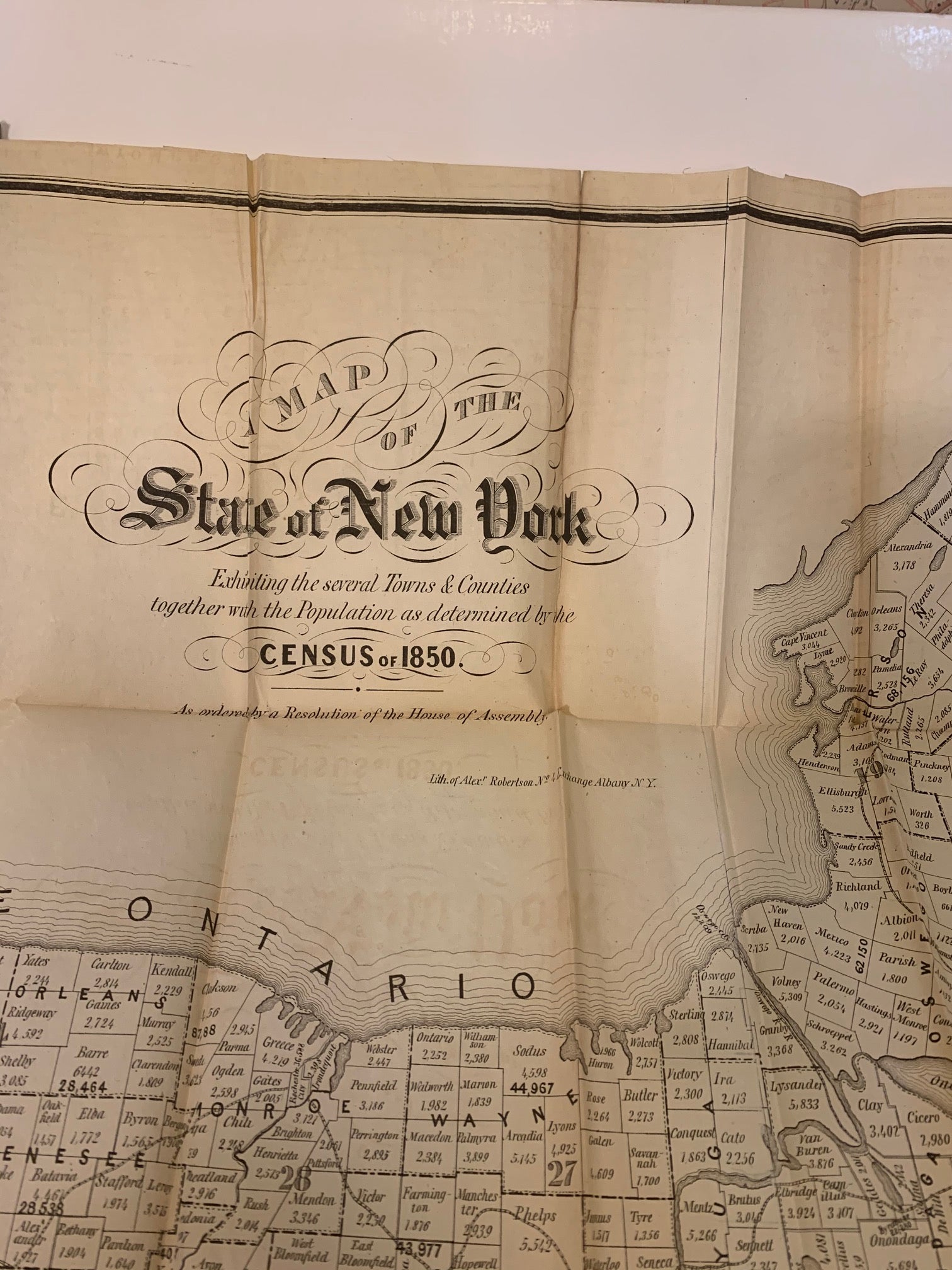
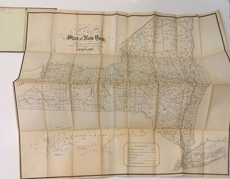
A Map of the State of New York; Exhibiting the several Towns & Counties together with the Populations as determined by the Census of 1850
Albany: Alex Robertson, 1850.
Case map. Lithograph. 27 x 30.5 inches.
Impressive large graphic map printed for Government use. The population of the state was a surprising 3 098 818 million. Hard to find.
Language: English
Price: $950.00
Item #293335
See all items in
NEW YORK
See all items by Alex ROBERTSON