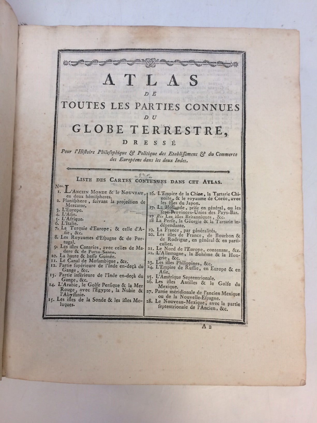
Atlas de Toutes les Parties Connues du Globe Terrestre
Geneva: J. L. Pellet, 1783.
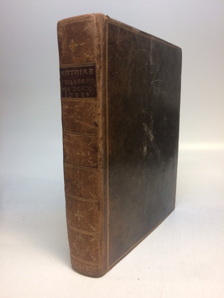
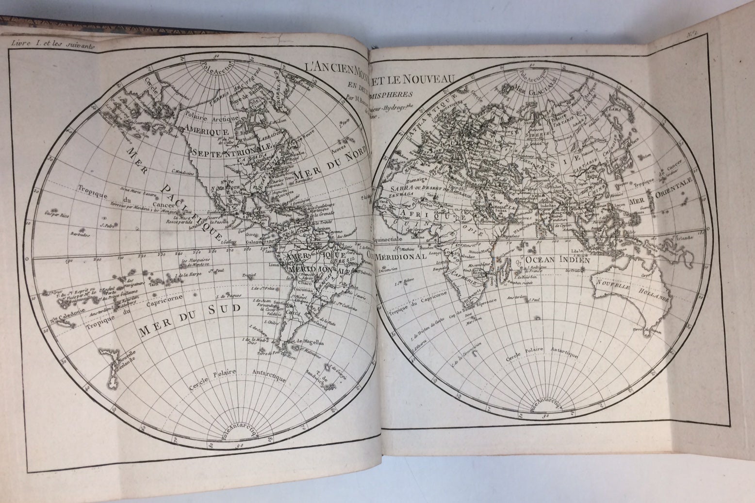
Atlas. 4to (9 3/4 x 8 inches); 22pp, 50 double-page or folding engraved maps, by Rigobert Bonne, the index numbered to 49; 23 letter-press tables, giving economic data. All maps have centerfold, plate I ("L'Ancien Monde et le Nouveau en Deux Hemispheres") has two additional folds. Minor scuffing to original brown leather binding, gilt spine in 7 compartments. Original marble end pages. Green silk book mark present. Only very minor toning and light scattered foxing to text. In very good condition. Geneva: 1783.
Atlas volume for Abbe Raynal's "L'Histoire philosophique et politique des etablissements et du commerce des Europeens dans les deux Indes." Title-page provides no publication data. Maps and charts are in very good condition. Includes 2 world maps.
Rigobert Bonne (1727-1795) was one of the most important cartographers of the late 18th century. He served as Hydrographer to France, and during his term, he produced a number of detailed and useful maps, particularly of coastal regions. His work is often devoid of decorative cartouches and compasses roses and marks a turn in European mapmaking away from decoration toward technical mapping.
Binding: Hardcover
Language: French
Price: $4,800.00
Item #288841