
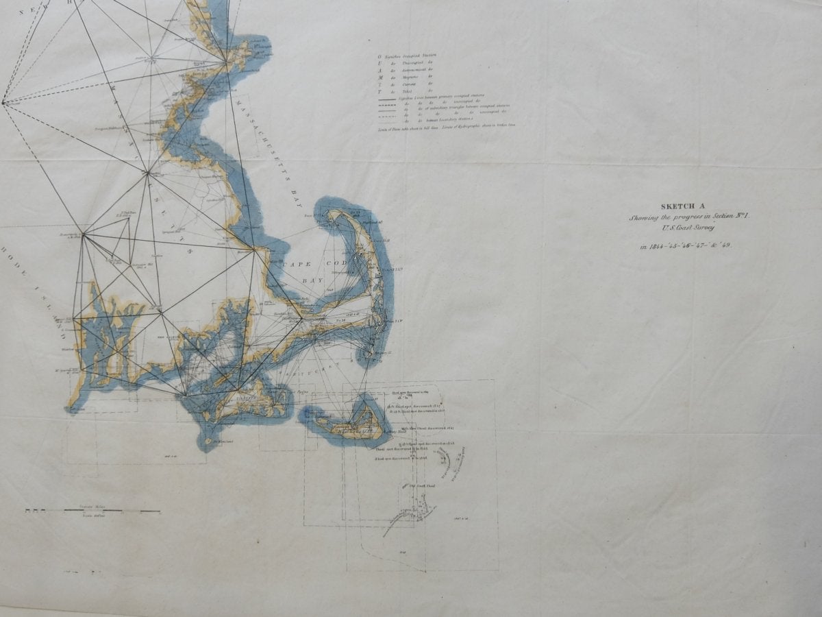
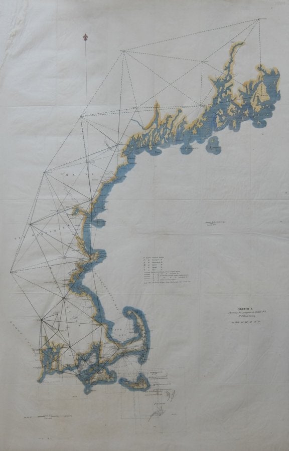
Sketch A Showing the progress in Section No. 1 US Coast Survey in 1844-'45-'46-'& '49
Washington: US Coast Survey, 1849.
Map. Lithograph with modern hand coloring. 34" x 22 1/2".
Exciting coast survey detailing the coast of New England from Narragansett Bay to Casco Bay, including Cape Cod, Martha's Vineyard, and Nantucket. Various triangulation points used in setting up the survey are shown. Minor stains upper left corner, lined with tissue paper.
Alexander Dallas Bache (1806-1867) was an incredibly prolific surveyor, who worked as the superintendent of the United States Coast Survey, which was first established in 1807. Over the course of the 19th century, the survey worked closely with the U.S. Navy to produce sea charts of the country's waters that could serve scientific as well as military functions.
Language: English
Price: $200.00
Item #288118