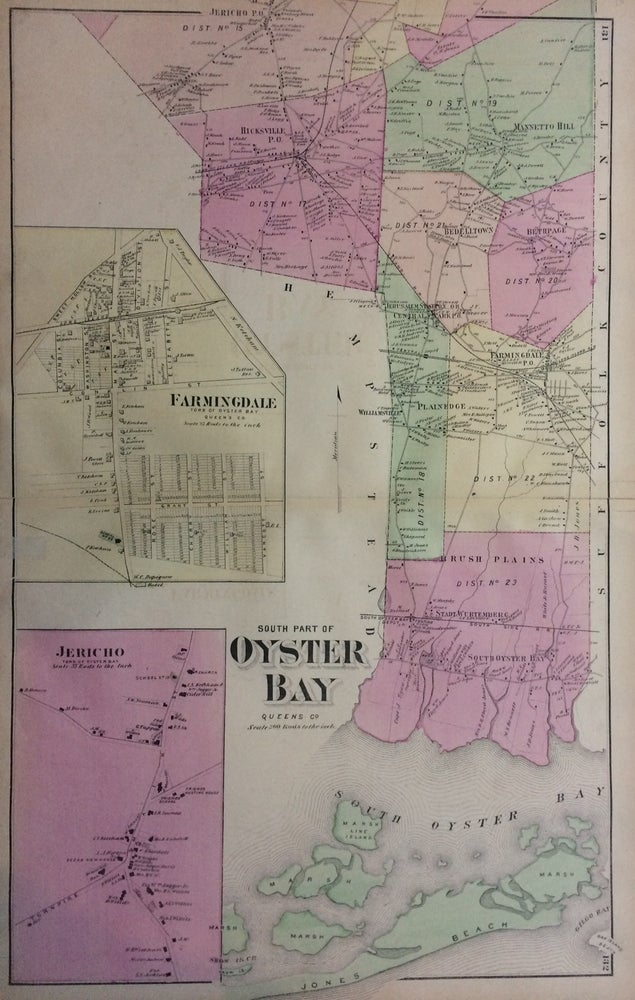
South Part of Oyster Bay; Queens Co.
New York: Beers, Comstock, & Cline, 1873.
Map. Lithograph with original hand coloring. Sheet measures 24" x 15".
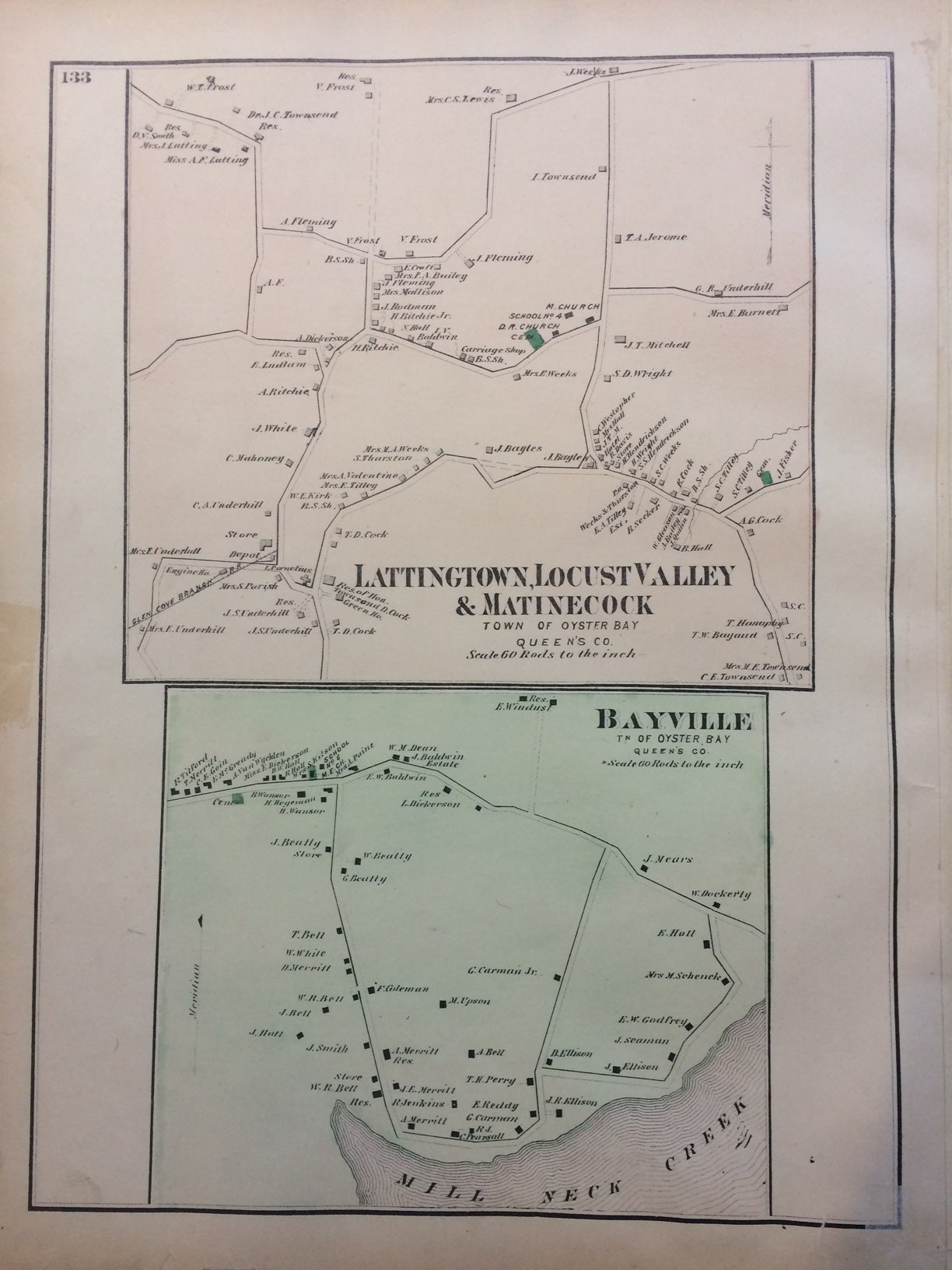
This 1873 map by Frederick W. Beers shows the south part of Oyster Bay, which at the time, was part of Queens County. The map beautifully renders topographic features, such as swamps, harbors, and lakes, and notes streets, wards, settlements, wards, major buildings, landowners, bridges, wharves, railroads, cemeteries, etc. Shows from Jericho P. O. down through Mannetto Hill, Hicksville P. O., Bedelltown, Bethpage, Farmingdale, Plainedge, and Rush Plains. Also shows a section of Jones Beach. Insets of Farmingdale and Jericho offer a more complete view of the area. Also includes maps of Lattingtown, Locust Valley & Matinecock, and Bayville on the verso. Included in Beers' Atlas of Long Island, New York.
Frederick W. Beers (flourished 1858-1929) came from a family of surveyors, cartographers and publishers originally from Newtown Connecticut. F.W. Beers continued the work of his father James Botsford Beers and was known for his county survey maps of New York, Ohio, Pennsylvania, Michigan, Connecticut and Vermont.
Binding: Unbound
Language: English
Price: $275.00
Item #288057