
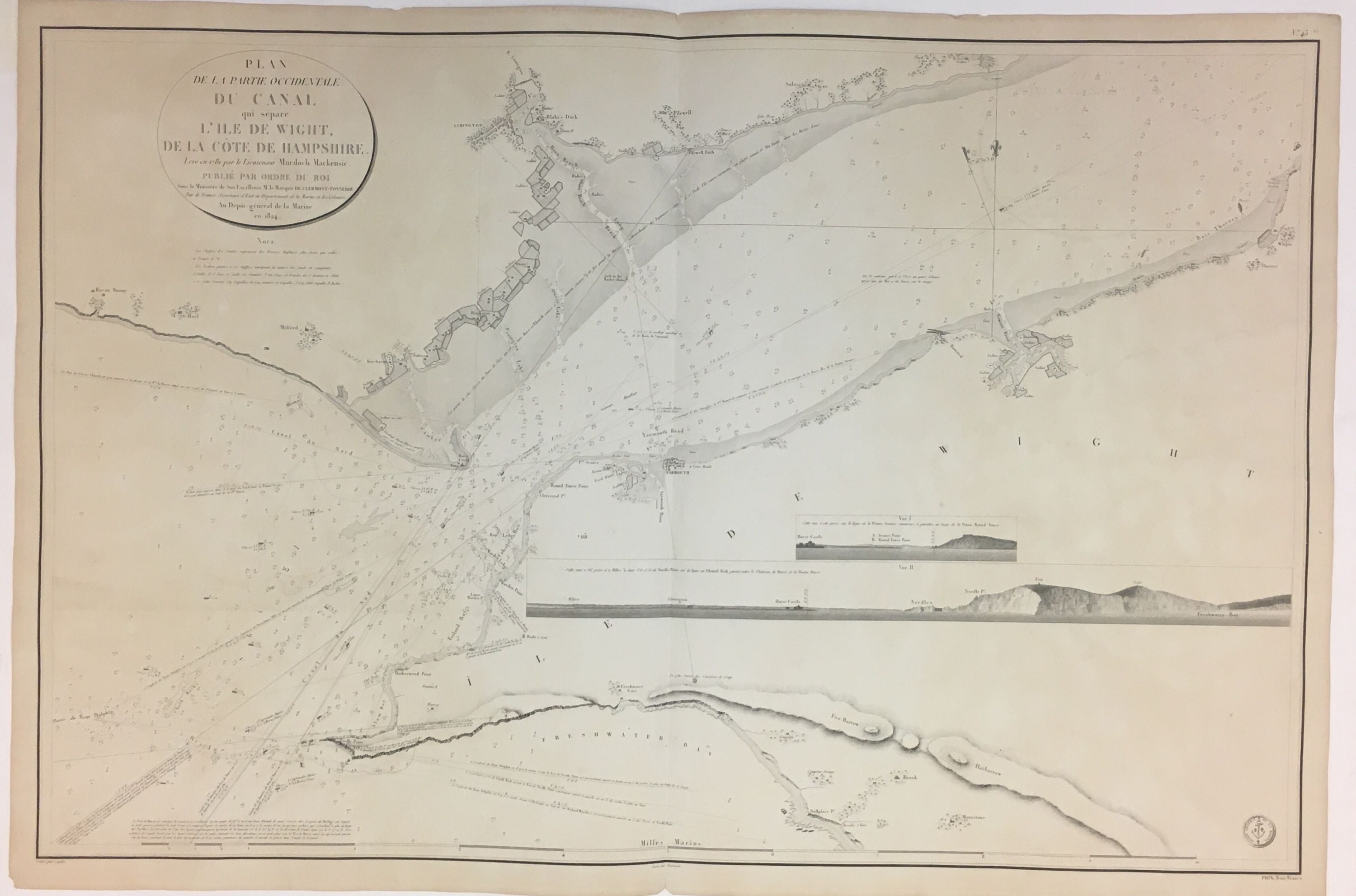
Plan de la Partie Occidentale Du Canal qui separe l'Ile de Wight, de la Cote de Hampshire
Depot-general de la Marine, 1824.
Sea Chart. Engraving. 24 3/4" x 37".
Beautiful accurate and detailed sea chart depicting the strait that separates the Isle of Wight from the southern coast of England. The strait is now known as the Solent. Chips to margin and toning. The Isle of Wight is a county and the largest and second-most populous island in England. It is in the English Channel, about 2 miles (3.2 km) off the coast of Hampshire, separated by the Solent. During the Seven Years' War, the island was used as a staging post for British troops departing on expeditions against the French coast, such as the Raid on Rochefort. Official French maps were generated for military use.
Language: French
Price: $400.00
Item #280295