
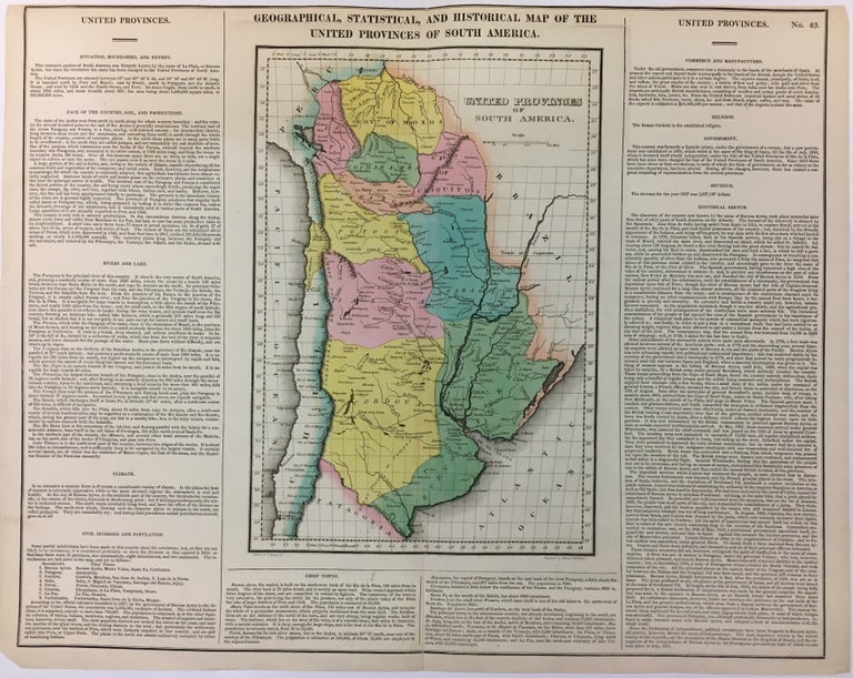
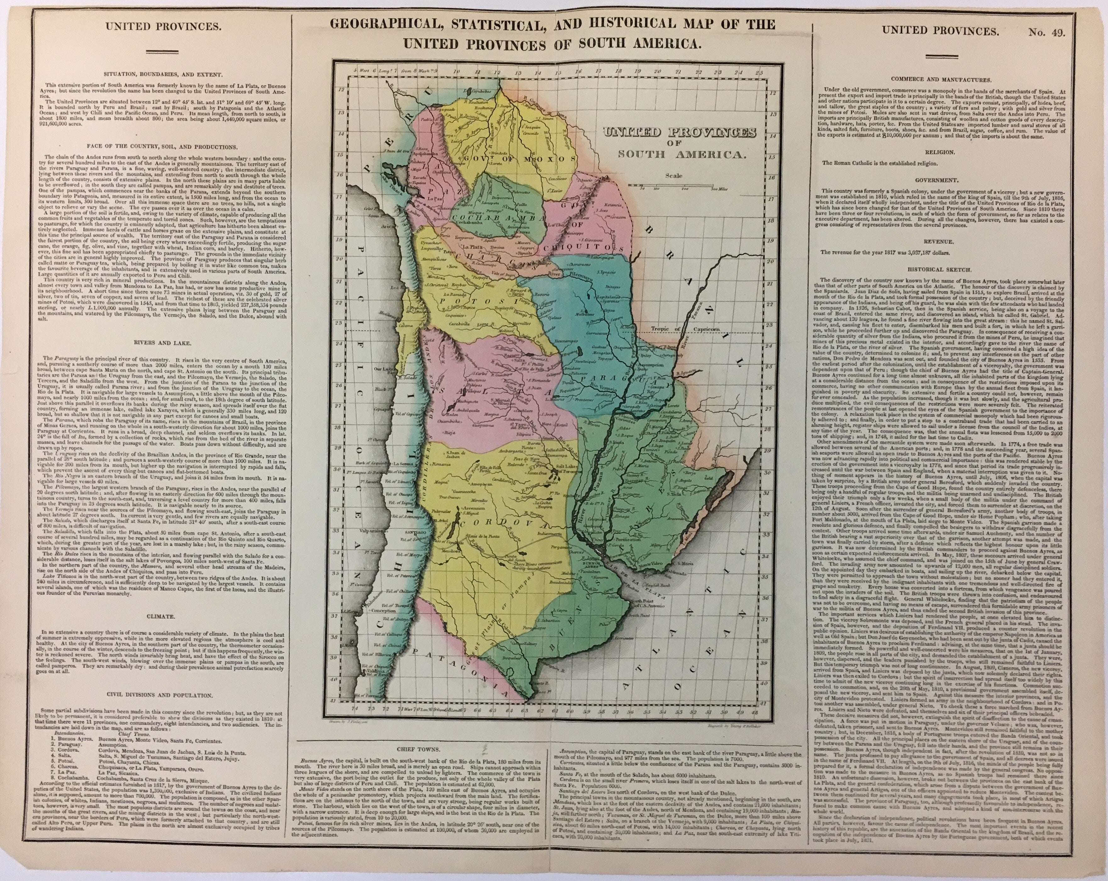
Geographical, Historical, and Statistical Map of the United Provinces of South America.
Philadelphia: Carey & Lea, 1822.
Map. Engraving with original hand coloring. Image measures 13" x 9", image plus text measures 17" x 21".
Includes information pertaining to history, climate and culture. One of the new maps of Argentina after it declared its independence from Spain in 1816. From "A Complete Historical, Chronological, and Geographical American Atlas..." of 1822. Top margin cropped.
The Philadelphia-based firm of Carey & Lea of Philadelphia was one of the most important publishers in the early 19th-century United States. Run by Mathew Carey (1760-1839) and Isaac Lea (1792-1886), the company worked with both books and maps, specializing particularly in political commentary.
Binding: Unbound
Language: English
Price: $100.00
Item #280260