
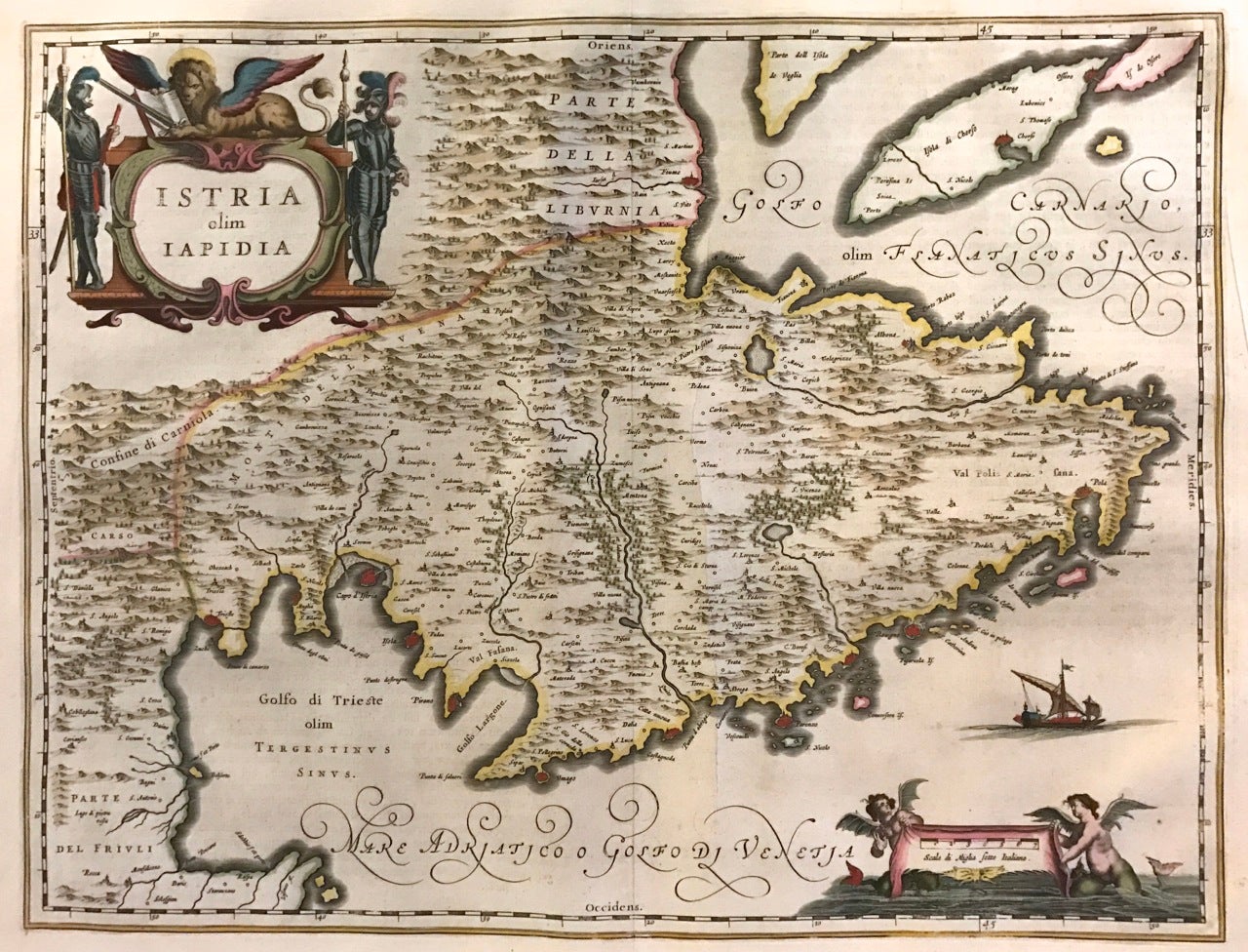
Istria olim Iapidia
Amsterdam: Johannes Blaeu.
Map. Copper plate engraving with original hand coloring. Image measures 14.75" x 19.5".
This beautiful circa 1662 map by Johannes Blaeu features the region of Istria, the largest peninsula in the Adriatic Sea. Oriented with north to the left, extends from the Gulf of Trieste to the Island of Cres in the Adriatic Sea to include part of Italy and Croatia. As a part of the Venetian Republic, this region contained many important sea ports that are highlighted on the map. The important regions of Istria (Trieste) and Pula are identified. The map also labels lakes, rivers and other topographic features with beautifully rendered mountains and forests.
An elaborate title cartouche features men in armor and a winged lion. The scale cartouche is illustrated with winged mer folk, while a ship sails the Adriatic Sea. In good condition with minor wear along the original centerfold. Original plate mark is visible. Minor foxing.
One of the most prolific Dutch mapmakers of his time, Willem Blaeu (1571-1638) started one of the most famous map publishing firms of the 17th century. It was at this time that the Dutch controlled the map trade, and their ornate and beautiful maps had immense popularity. Blaeu and his family worked out of Amsterdam and was instrumental in driving this dominance in his lifetime, and this legacy was continued by his sons. This series was published by his son Johannes (c. 1599-1673), who took over the business upon his father's death.
Binding: Unbound
Language: English
Price: $600.00
Item #273790