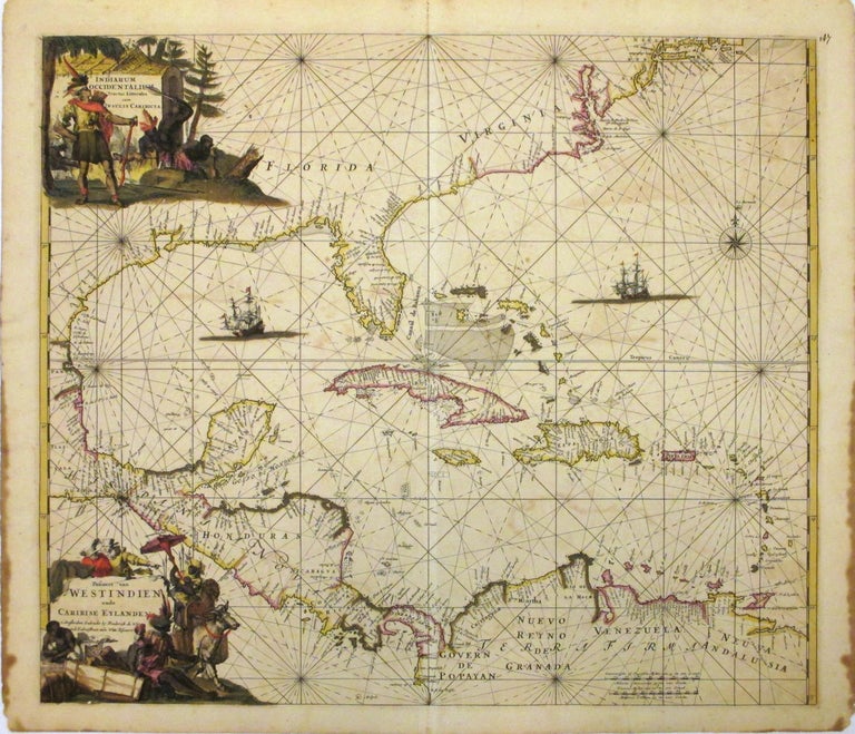
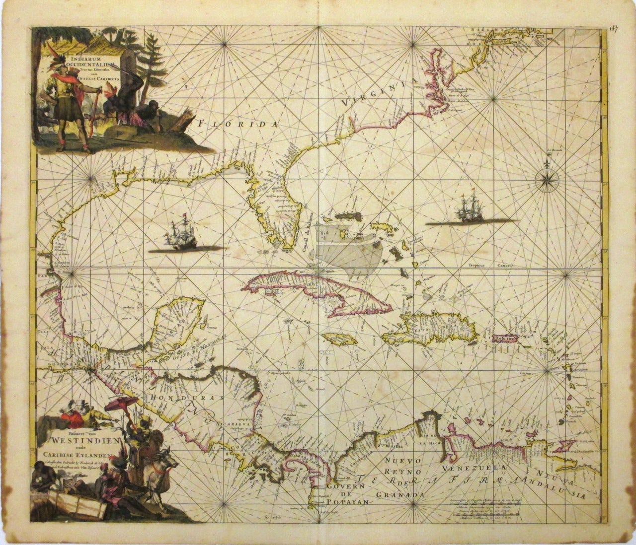
Indiarum Occidentalium Tractus Littorales cum Insulis Caribicis. / Pascaert van Westindien ende Caribise Eylanden.
Paris: Frederick de Wit, 1680.
Map. Copper plate engraving with original hand color. Image measures 19" x 22 1/4". c.1680
This rare and beautiful sea chart of the West Indies is an unrecorded edition by Frederick de Wit. The chart covers Central America, West Indies, Florida and the Gulf of Mexico. Unlike the first state of this map, this variation details the west coast of Central America and the southern coastline of New England. The Chesapeake Bay region is also more detailed and New Amsterdam and New Netherlands is labeled. The map is annotated throughout with sailing directions, rhumb lines and beautiful illustrations of galleons.
Its most intriguing feature, however, is the cartouche in the upper left corner. A Native American chief presides whether with pride or ignorance is unclear before a group of cannibals. Two men attack another chained to a tree, while a third conspirator spins a spit bearing a human leg. The scene is grim to be sure, yet it conveys a widely held conviction about Native Americans first reported following Columbus's initial expedition. Seen as evidence of "savagery," such ritualistic practices fueled European colonial sentiment. The civilized self-image of these colonizers is matched here by the skillful original hand-coloring of the map, which demonstrates both historical color conventions and the intricacy of the practice. The lower cartouche, thusly embellished, provides fascinating detail as well. A camelid peeks its head out behind a mother balancing her baby and a parasol during a bumpy ride on an ox. Two other figures sit amongst crates and barrels, likely sorting goods for the market. There are two European deliberately positioned above the title looking down on the scene, indicating their position of primacy over the Native Americans. The map is in good condition with rich dark impression and overall toning. Minor foxing and offsetting. Edges show some stains, not affecting printer image.
Frederick de Wit (1629/30--1706) was one of the foremost cartographers and map sellers of the Dutch era of mapping. Based in Amsterdam, he began with a small printing shop in 1654 and soon became internationally known for his city plans and wall maps of the world. By 1671, he was producing large folio atlases for both his shop and individual patrons that could contain anywhere between 15 and 150 maps. Today, these atlases grace the collections of many museums and institutions as evidence of the vibrant cartographic trade in Amsterdam in the middle- and late-17th century. A stunning and desirable map from the 17th c age of Caribbean piracy.
Binding: Unbound
Language: Latin
Price: $3,500.00
Item #265643