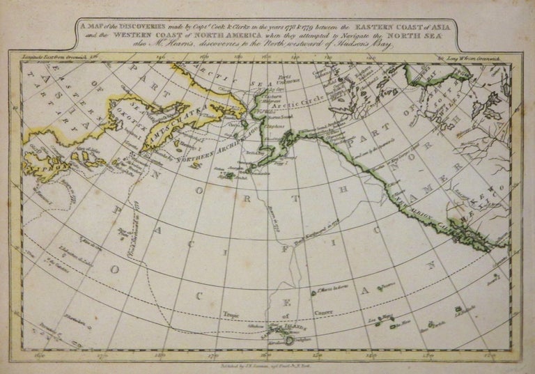
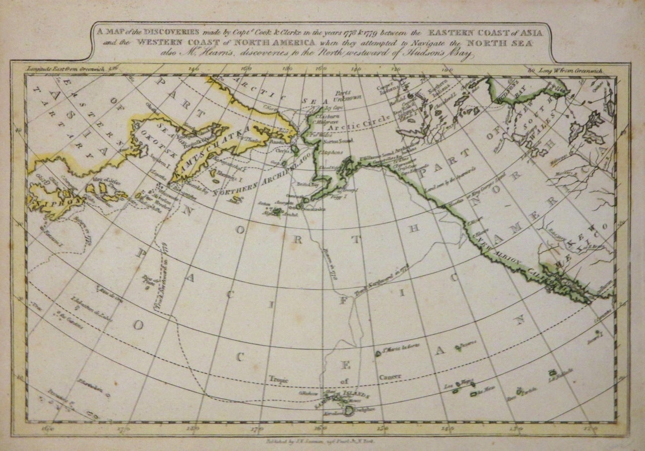
A Map of the Discoveries made by Capts. Cook & Clerke in the years 1778 & 1779 between the Eastern Coast of Asia and the Western Coast of North America when they attempted to Navigate the North Sea also Mr. Hearn's, discoveries to the North westward of Hudson's Bay.
New York: James V. Seaman, 1821.
Map. Hand colored engraving. Image measures 7.5" x 11". 1821.
This scarce map of the North Polar regions document both the area's geography as well as the Arctic explorations that helped discover and document it. It charts the exploratory routes of Captain James Cook and Charles Clerke through the North Sea in 1778 and 1779. It also notes the route of Mr. Hearne west of the Hudson, in search of the Arctic Sea. The map notes coastal geography as well as a few waterways in the North American interior. Indian tribes are identified. Sandwich Islands (Hawaii) are identified. This map is one of the early Cook maps published in America. Map is in good condition with minor foxing. Appears in Seaman's "New General Atlas". James. V. Seaman was a New York publisher who published atlases intended for the use of school and private libraries.
Binding: Unbound
Language: English
Price: $500.00
Item #264418