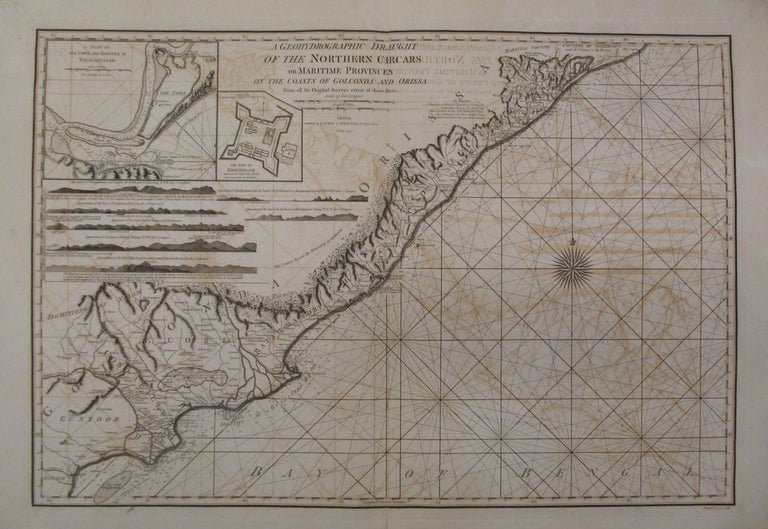
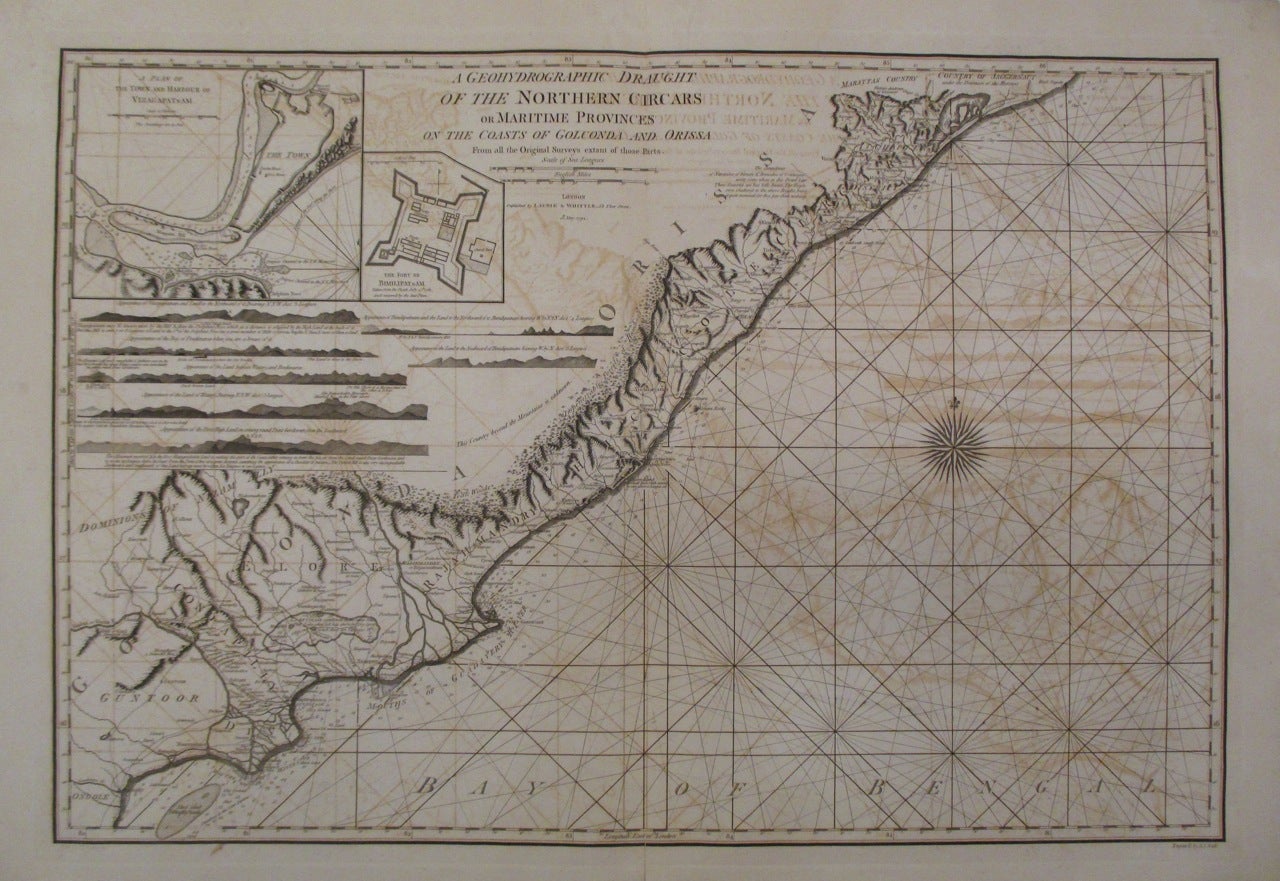
A Geohydrographic Draught of the Northern Circars or Maritime Provinces on the Coasts of Golconda and Orissa from all the Original Surveys extant of those Parts
London: Laurie & Whittle, 1794.
Sea chart. Uncolored copper plate engraving. Image measures 21" x 30.25". Sheet measures 23.5" x 33.75".
Stunning sea chart of the coasts of Golconda Coast and Odisha in East India. Extends from Ongole north to Jagannath Puri (Puri) and Konark in Odisha. Also identifies the site of the famous Black Pagoda, the 13th century Sun Temple which still stands today and is a UNESCO World Heritage Site. Both Puri and Konark are important pilgrimage destinations. Spectacularly details inland features including roads, rivers, lakes, cities, etc. The chart includes rhumb lines, depth shoals, an enchanting compass rose and two inset maps. First inset features the plan of the town and harbor of Visakhapatnam, detailing batteries, forts and various inland features. Second inset details the Fort of Bimilipatnam (Bheemunipatnam) taken from the Dutch. The coast lines are further illustrated with with several topographical cross sections.
Robert Laurie (c. 1755 - 1836) and James Whittle (1757-1818) were London-based map and atlas publishers active in the late 18th and early 19th century. Their firm combined Laurie's engraving skills with Whittle's social contacts and print sales experience. Together, they published numerous maps and atlases, often enlisting prominent cartographers such as Kitchin, Faden, Jefferys and others to update and modify their plates. Full original margins. Centerfold reinforced. Dampstains and offsetting with toning. With its beautiful and unusual visual approach, this scarce sea chart is rarely available for sale.
Binding: Unbound
Language: English
Price: $675.00
Item #262617