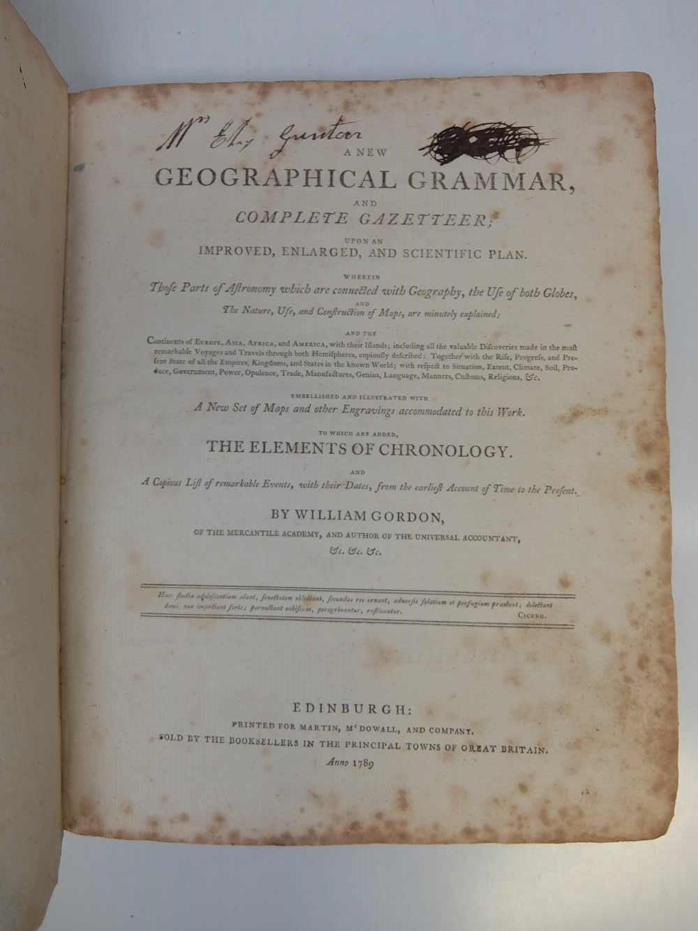
A NEW GEOGRAPHICAL GRAMMAR AND COMPLETE GAZETTEER; Upon an Improved, Enlarged, and Scientific Plan. Wherein Those Parts of Astronomy which are connected with Geography, the Use of both Globes, and the Nature, Use, and Construction of Maps, are minutely explained;...To Which are added, The elements of Chronology.
Edinburgh: Martin McDowall, and Company, 1789.
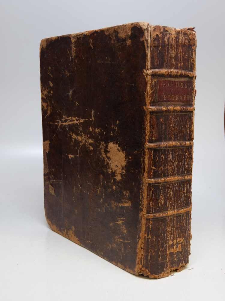
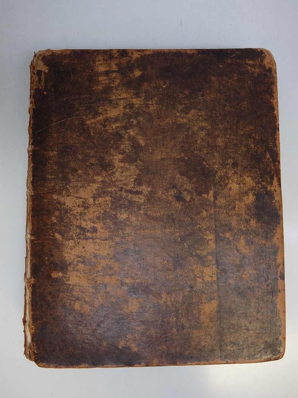
Full leather atlas with eleven finely engraved folded maps in linen clam shell case lined with felt. 615 p. Very thick square 4to. 10 1/2 x 8 1/2 inches. Ink notations on first fly leaf and title page. Cover loose. Errors in pagination: p. [67] mis-numbered 97; page numbers 172-173 repeated; page numbers 175-176 omitted; p. [480] mis-numbered 840. Maps included are; double hemisphere world, celestial diagram, Europe, Scotland, Ireland (with foxing along folds), Asia (with foxing along folds), East Indies, Africa, North America, West Indies (some in stains near index), and South America. Edinburgh: Martin McDowall and company. 1789
This type of 18th c school atlas has been overlooked in the past but such items are now hard-to-find. According to Rodney Shirley, there was only one edition of this atlas but our copy is published by McDowall not Guthrie. OCLC only list two copies of this version. Maps are beautifully engraved by John Beugo (1759-1841).
Binding: Hardcover
Condition: Very Good(+)
Edition: First
Language: English
Price: $2,500.00
Item #254321