

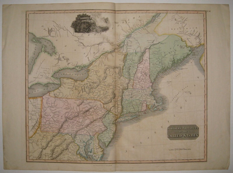
Northern Provinces of the United States
1817.
Map. Engraving with original hand outline color. Image measures 19.5" x 23.25".
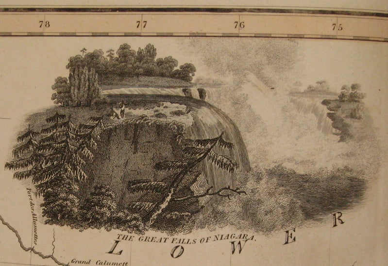
Nicely detailed double page map of the northeastern coast of America, from Maine (the District of Main) to parts of Virginia and Maryland. Shows topographical features, forts, towns and waterways. Includes a beautiful view of Niagara Falls. Published in Thomson's "New General Atlas". Minor overall offsetting.
John Thomson (1777 - 1837) was a Scottish bookseller and publisher active in the early 19th century, who was one of the leaders in Europe who favored detailed and accurate mapping over the decorative and elaborate cartouches that appeared in earlier maps. His most important work was "Thomson's New General Atlas" and his "Atlas of Scotland". Although he went into bankruptcy twice during his career, his maps are today highly desirable for their scale and detail. This is beautiful example of his work.
Binding: Unbound
Condition: Very Good(+)
Language: English
Price: $500.00
Item #225535