

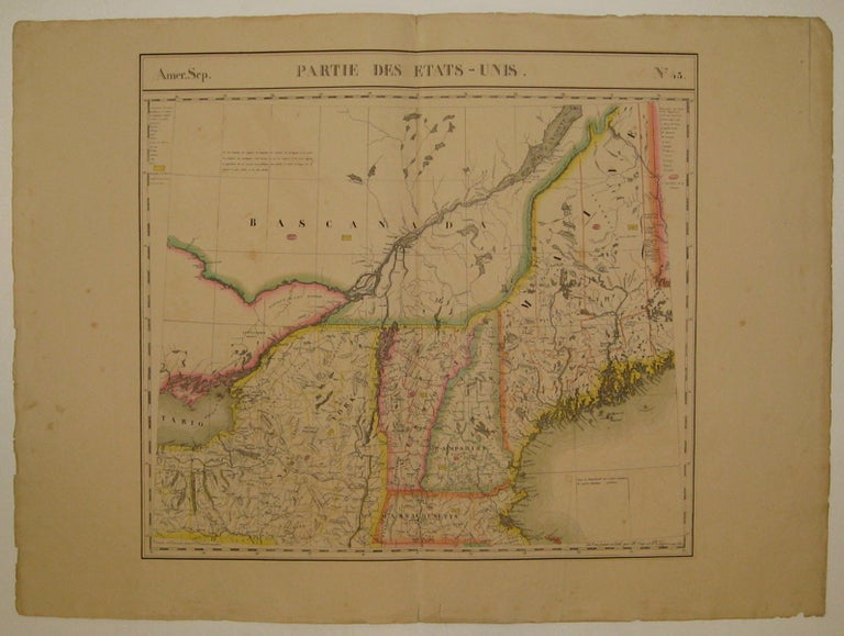
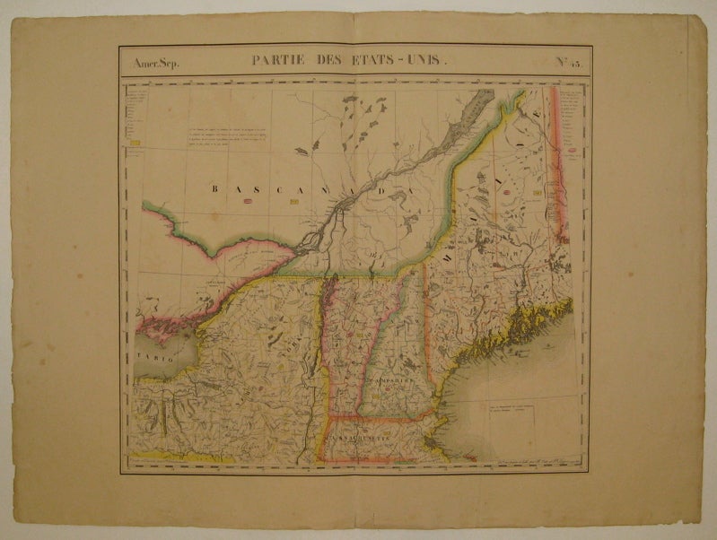
Partie des Etats-Unis. Amer. Sep. No. 43
Brussels: Vandermaelen, Phillipe Marie, 1827.
Map. Large format lithograph with original hand color wash. Image measures 18.25" x 20".
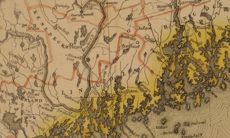
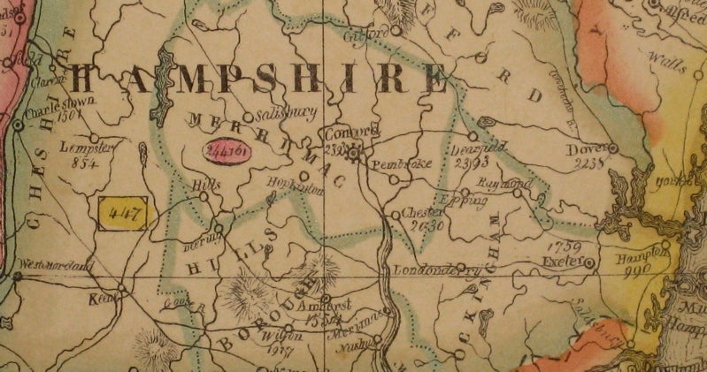
Beautiful double page map of New England showing Maine, New Hampshire, Vermont and parts of New York, Massachusetts and Canada. Features counties, towns, waterways, topographical and geographical features, population size (indicated in pink circles), mineral deposits and the area of each state (yellow circles). Minor wear to edges, light scattered staining and offsetting. Expert repair to chip to bottom centerfold. From Vandermaelen's 6 volume "Atlas universel de geographie physique, politique, statistique et mineralogique, sur l'echelle de 1/16411836" in which each map can be combined as gores to form an immense globe. The atlas was the first to map the world on a uniform scale as well as the first lithographed atlas.
Binding: Unbound
Condition: Very Good
Language: English
Price: $350.00
Item #225532