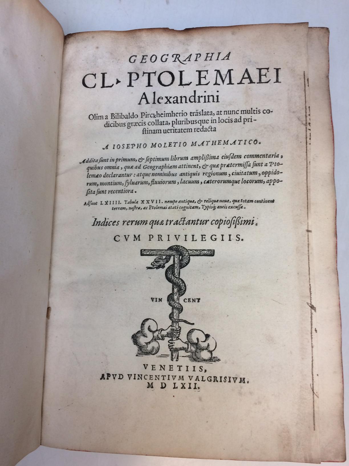
Geographia Cl. Ptolemaei Alexandrini Olim a Bilibaldo Pirckheimherio traslata, at nunc multis codicibus graecis collata, pluribusque in locis ad pristinam ueritatem redacta
Venice: Vincenzo Valgrisi, 1562.
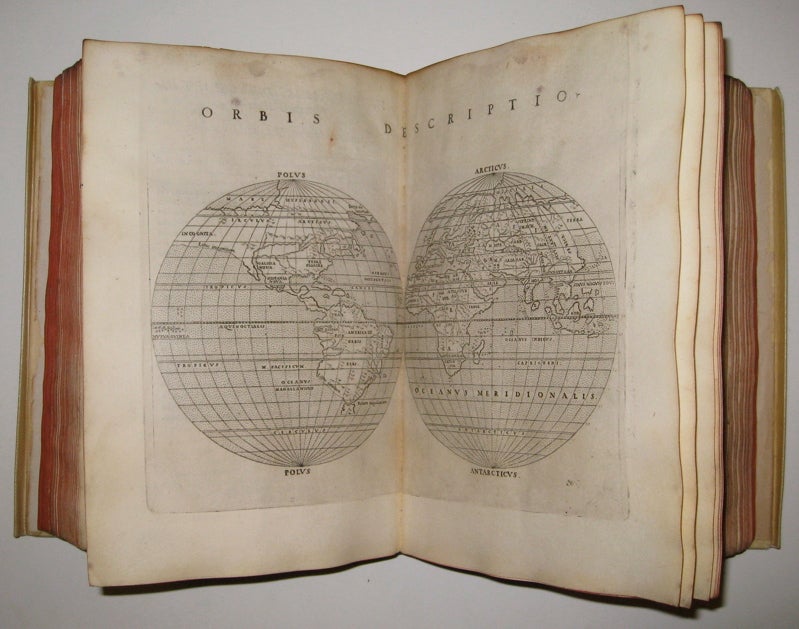
Venice: Vincenzo Valgrisi, 1562. 2 parts with separate pagination. Short, thick 4to bound in 19th century vellum with red edges. Features 64 double page maps: 27 Ptolemaic maps (showing the ancient world as Ptolemy knew it, including one world map), 37 "modern" maps (with two world maps) and several woodcut diagrams, illustrations and decorative initials. Text in Latin. Staining throughout affecting some of the maps. Title page cropped .5" at right margin. Bookplate of Otto Orren Fisher and ink inscription of Charles Singer.
Giuseppe Moleto (Josephus Moletius) (1531-1588) was an Italian mathematician who based the text of this edition on the 1525 translation by Wilibald Pirckheimer. Moleto's draws upon Ruscelli's enlarged maps of his 1561 edition, which in turn, were based upon those by Jacopo Gastaldi. Moleto has also included some of Girolamo Ruscelli's innovations from his own edition: the double hemisphere world map and "Carta Marina Nuova Tavola", a rare sea chart of the world. Also from Ruscelli is a revised version of the Zeno map of the Arctic, first published in 1558. The Zeno map describes the purported journey of the author's ancestors in the 1390s to Greenland, Iceland, the mythical islands of Frisland and Icaria, and what is now thought to be Newfoundland and Labrador. While Zeno shows Greenland connected to Norway, Ruscelli updated the map by eliminating this land bridge. Despite its inaccuracies and inclusion of mythical lands, the Zeno map persisted as the prevailing map of the Arctic and Greenland for many years. Six other New World maps include the South American continent, Brazil, Central America and the Baja Peninsula, the eastern coast of North America, Cuba and Hispaniola. Moleto juxtaposes the Ptolemaic maps with the contemporary, offering easy comparison between ancient and new. Claudius Ptolemy (90-168 CE) was a Roman geographer and mathematician living in Egypt, who compiled his knowledge and theories about the world's geography into one seminal work. Although his maps did not survive, his mathematical projections and location coordinates did. During the Renaissance revival of Greek and Roman works, "Geographia" was rediscovered by monks and based upon Ptolemy's detailed instructions, the maps were recreated. The first printed edition of "Geographia" with maps was published in Bologna in 1477. A rare and exciting edition for any collector.
Binding: Hardcover
Condition: Very Good(-)
Language: Latin
Price: $10,000.00
Item #220508