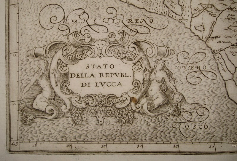

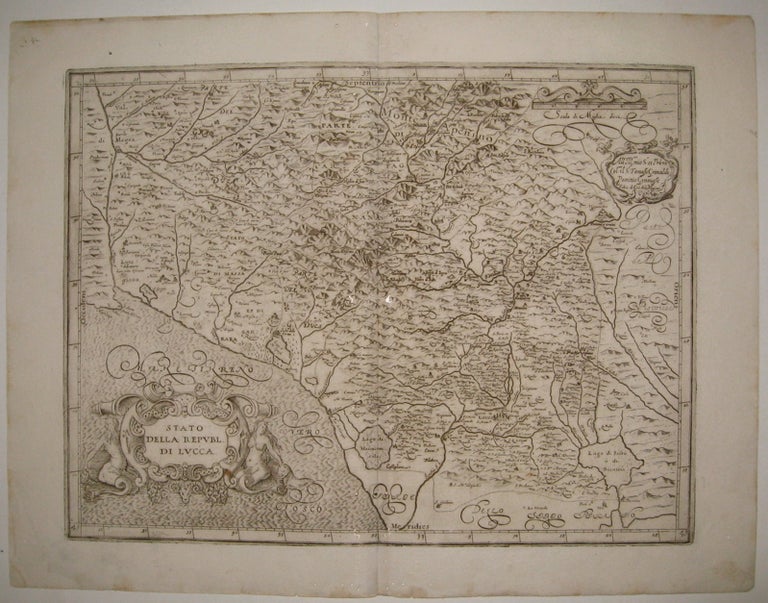
Stato della Republ. di Lucca.
Bologna: Sebastiano Bononi, 1620.
Map. Uncolored engraving. Image measures 13 3/8" x 17 7/8".
Beautiful dark impression of part of Tuscany, featuring Lucca and its environs. Geographical details including bodies of water and mountains are beautifully depicted. Map also features lavish ornamental cartouches and ocean waves are in Mercator's signature style. Light scattered staining and several small wormholes along centerfold. Magini (1555-1617) was an Italian humanist and professor of astronomy. This rare map was published in his seminal work, "Italia", the first printed atlas of Italy. Although he had been compiling the atlas since 1594, Magini died before its publication. His son Fabio continued his efforts and the first edition was eventually printed by Sebastiano Bononi. For much of the 17th century "Italia" was hailed as the leading primary source of regional Italian maps and their continued use by notable mapmakers such as Blaeu and Ortelius sustained Magini's legend.
Binding: Unbound
Condition: Very Good
Language: English
Price: $500.00
Item #220218