

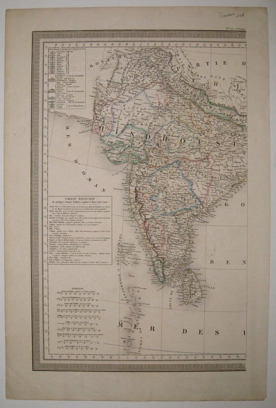
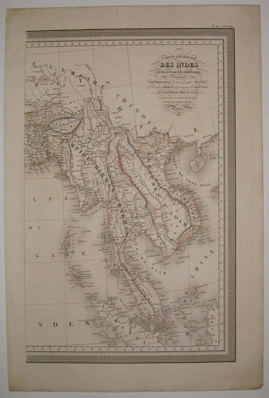
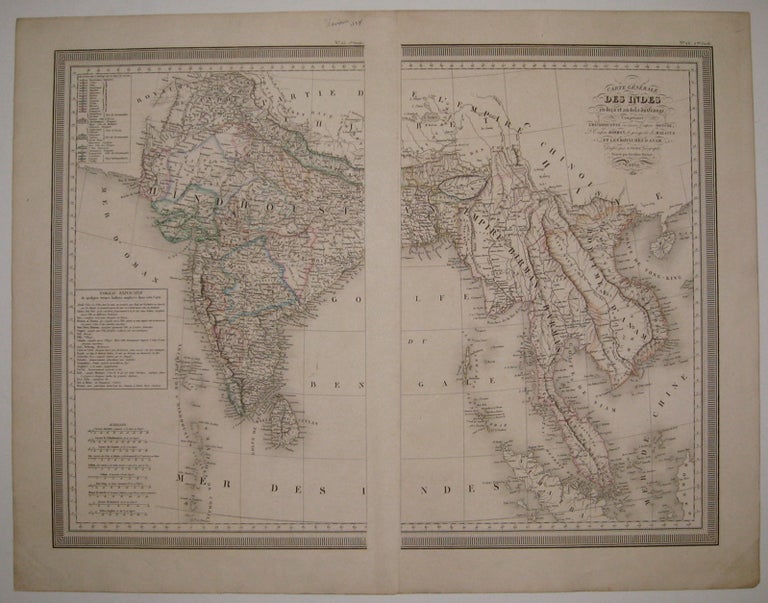
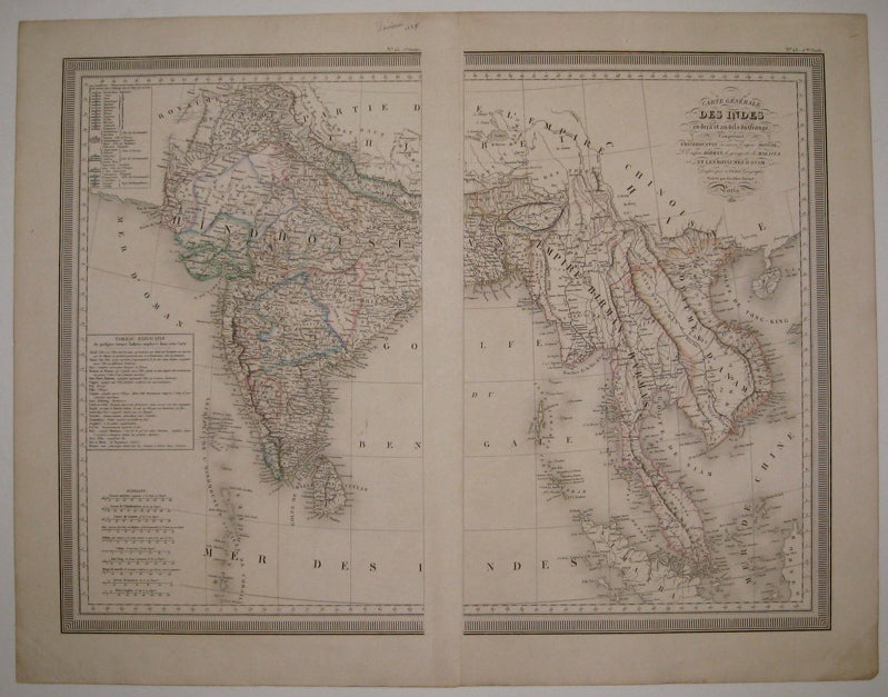
Carte Generale des Indes en-deca et au-dela du Gange, Comprenant l'Hindhoustan ou ancien Empire Mongol, L'Empire Birman, la presqu'ite de Malacca et les Royaumes d'Anam
Paris: Desenne & Menard, 1834.
Map in two sheets. Engraving with original hand outline color. Each image measures 17 5/8" x 11 1/8".
Nicely detailed map of India and Burma showing all major cities and routes, and geographical features. Includes various scales, a table of translated words and a list of states. Published in "Atlas universel: pour servir a l'etude de la geographie et de l'histoire anciennes et modernes."
Binding: Unbound
Condition: Very Good(+)
Language: English
Price: $350.00
Item #219669
See all items by Louis VIVIEN DE SAINT MARTIN