
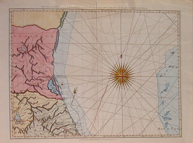
The Coast of Mexico from Laguna De Esmotes to Punta Brava.
London: Robert Sayer, 1792.
Map. Engraving with hand coloring. Image measures 18.75" x 24.25".
Nautical chart of the Northeast part of Mexico and the Gulf with detailed topographical features such as Laguna de Tamiahua and the Bay of Campeche islands. Rhumb lines and a beautifully colored compass rose. From Jefferys' "West India Atlas", originally published by Sayer & Bennett in 1775. Full original margins, minor chipping along bottom edge. Expert repairs to centerfold. Minor stain in right margin. Thomas Jefferys (1710-1771) was one of the most important and prolific mapmakers of his era with particular focus on North America. Hard to find.
Binding: Unbound
Condition: Very Good
Language: English
Price: $650.00
Item #206238