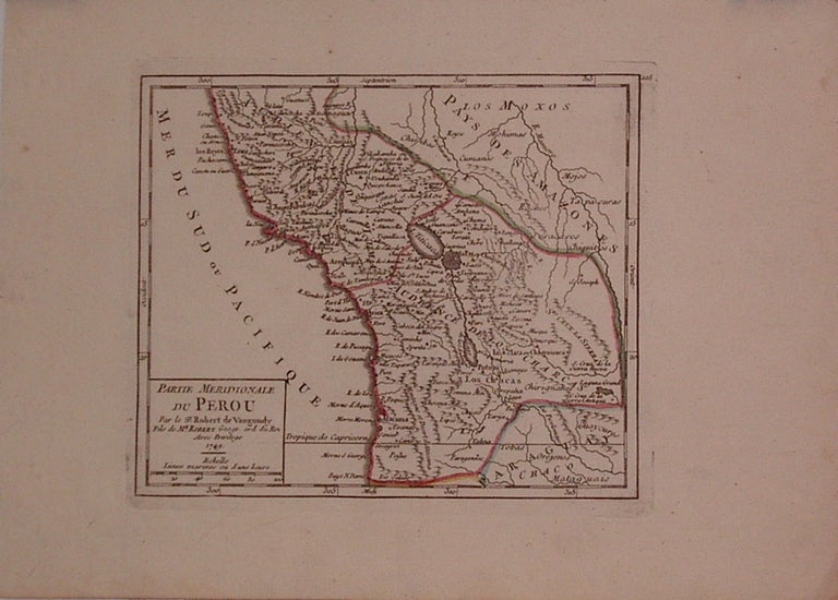
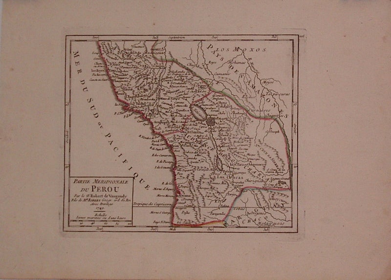
Partie Meridionale du Perou
Paris: Robert de Vaugondy, 1749.
Map. Engraving with modern hand outline. Image measures 6.25" x 7.5".
Creases to upper left and lower right corners. Gilles Robert de Vaugondy (1688-1766) was an important French mapmaker during the 18th century. His "Atlas Universel" was one of the most significant atlases of the period, integrating older sources with more modern surveyed maps in order to convey correct geographical and political information.
Binding: Unbound
Condition: Very Good
Language: English
Price: $125.00
Item #204772
See all items by Gilles ROBERT DE VAUGONDY