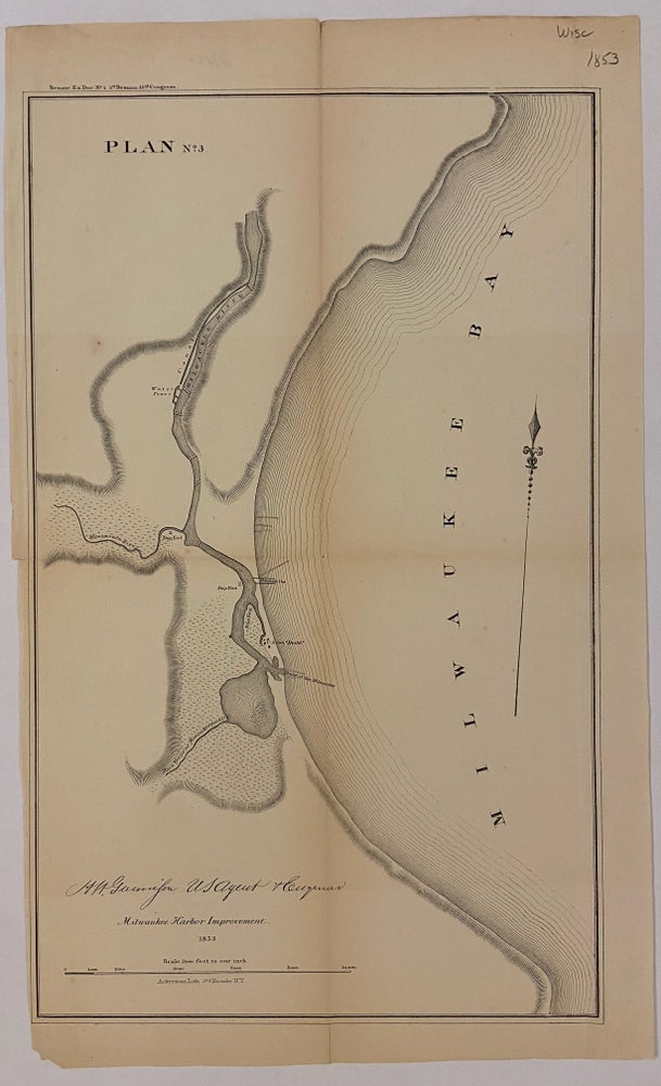
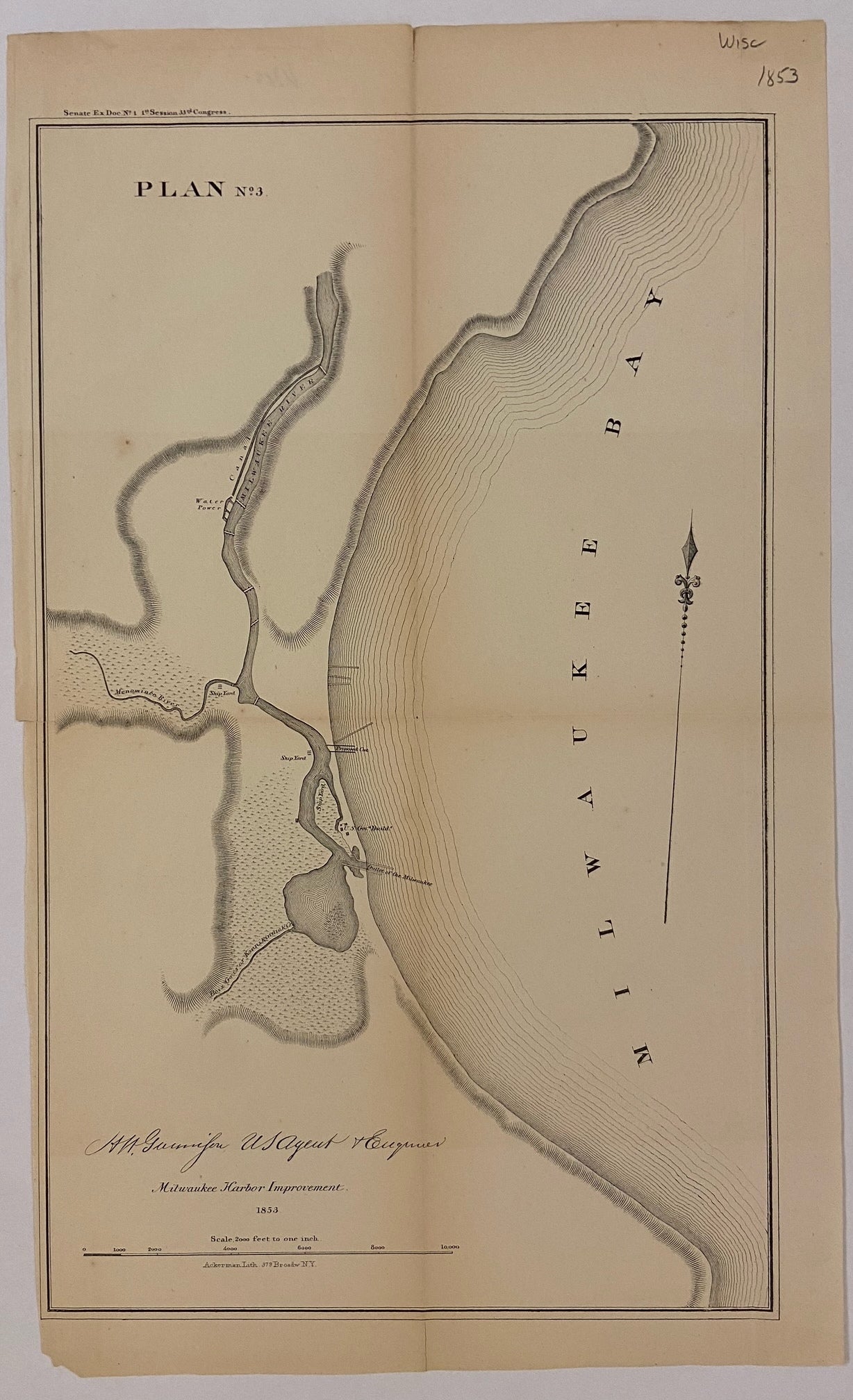
Plan No. 3 Milwaukee Harbor Improvement
New York: Ackerman Lith. 1853.
Map. Uncolored lithograph. Image measures 15.5"x 9.5".
Nice sea chart of part of the Milwaukee Bay. Features geographical and topographical details, shipyards, canals, and government buildings. Left margin cropped, minor toning along original folds.
Binding: Unbound
Condition: Very Good(+)
Language: English
Price: $50.00
Item #203824
See all items by J. H. GUNNISON