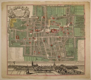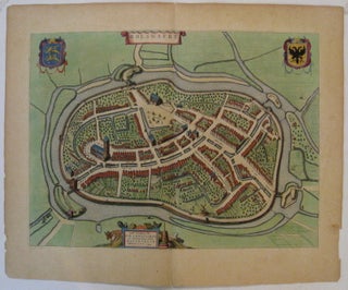
Bolswaert
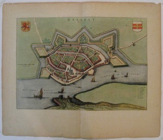
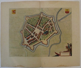
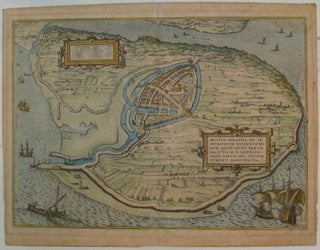
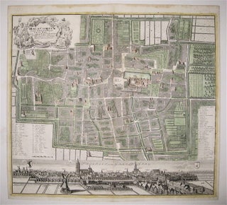
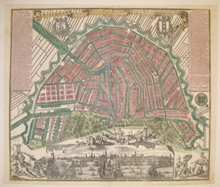
Amsterdam. Map. Engraving with original hand coloring. Image measures 15.25" x 20.75". Beautifully detailed town plan of Bolsward in northern Holland, shown in an unusual panoramic birds-eye view, circa 1649. Features the fortress and the town within it, and the surrounding pastoral landscape. Includes two coats of arms, both of which are hand burnished with beautiful gold leaf. Dedication cartouche is decorated in an agricultural theme. Latin text on verso. Published around the time of the Spanish acknowledgment of the..... More