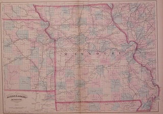
Asher & Adams' Missouri.
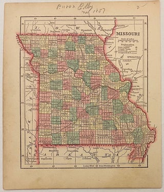
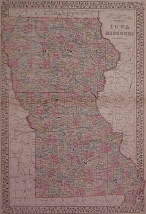
New York: Asher & Adams, 1873. Map. Engraving with original hand coloring. Image measures 16" x 22.25". Beautiful double page map of Missouri divided into counties and townships. Shows towns and cities, railroads and waterways. Minor discoloration along centerfold and small chip to lower corners. Asher & Adams were publishers based in Washington and New York in the late 19th century. More