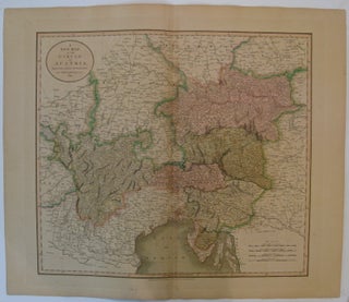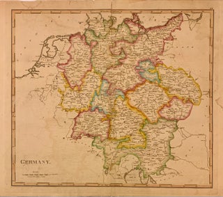
A New Map of the Circle of Austria
London: John Cary, 1811. Map. Engraving with hand coloring. Image measures 17.75" x 20.25". Detailed map of the Austrian Empire. Overall toning, full original margins. More
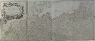
London: Laurie & Whittle, 1794. Map (in two sheets). Engraving with original hand outline. Each sheet measures 20.25" x 47.25", together they measure measures 41.25" x 47.25". Stunning large scale map of the German Empire, in high detail. Beautifully animated cartouche with three figures and a large bird with outstretched wings. At the bottom of the top sheet and the top of the bottom sheet is written the areas shown: The circles of Lower Rhine, Franconia, Swabia and Bavaria, with..... More
London: Letts, Son & Co. Limited, 1883. Map. Color lithograph. 14" x 17" This graphic 19th century map of Vienna was published in Letts's Popular Atlas. It shows streets, rivers, fortifications, and parks. Major public buildings are featured in red, including rail stations, schools, and government buildings. Rail lines are indicated in black, and tramroads are delineated in red. The map extends from the historic Kaiser Ferdinand-Nordbahn Railway Station to West Station, and to the Arsenal and Gloggnitz Railway Station..... More
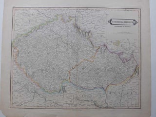
Edinburgh: W. Lizars, 1828. Maps. Hand colored engraving. 18 3/4" x 22 1/4". Beautiful early 19th century map of Bohemia and Moravia, which were provinces of the Austrian Empire at the time. Highly detailed with notations for towns, rivers, mountains, forests, etc. Most notably shows Prague, in Bohemia. Colors mark the borders between the provinces as well as around them.William Home Lizars (1788--1859) was an engraver and painter based in Edinburgh. After the death of father, Daniel Lazars, he took..... More
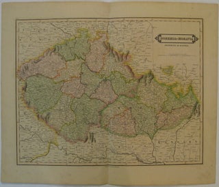
Edinburgh: Lizars, D., 1828. Map. Engraving with original hand coloring. Image measures 15" x 19.25". Nicely detailed map of Bohemia and Moravia. Minor wear to full original margins. More
Hungary: 1719. Map. Engraving with hand colored outline. Image measures 18 3/4" x 21 7/8" Beautiful double-page map of Hungary. The Danube River dramatically transects the map from the upper left to the lower right, extending from Vienna to Belgrade. Mountains and forests are depicted pictorially, and towns, cities, rivers, and regions are labeled. Regional divisions are carefully delineated with hand colored outline. Includes an ornamental title cartouche in the lower right corner. It was engraved by John Harris and..... More
It has been a very l-o-n-g time in ordering another book from you but nonetheless very happy to have done so. My book arrived today in perfect condition and I do thank you for the prompt shipping along with the aforementioned condition. I still miss not having a decent bookshop in my neck of the woods but I am grateful to still have the ability to use my computer and search engine to find such treasures such as sellers like you and find items to purchase for my various interests!
I just wanted to let you know that I received the book, Quality Street, with its stunning scenic inlaid binding by Birdsall. I LOVE this book! It arrived safe and sound, thanks to your careful packing. Thank you for your good care throughout my order.