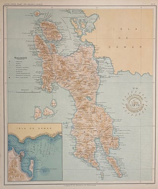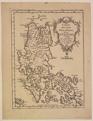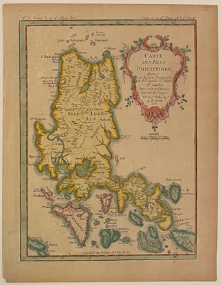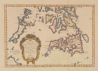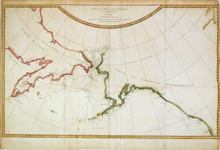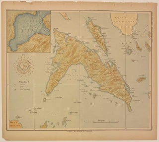
No. 17 Masbate y Ticao. Islas Filipinas Observatorio de Manila
Washington: Government Printing Office, 1900. Map. Color lithograph. Image measures 13 1/2" x 11 1/2" This map depicting the islands of Masbate and Ticao was originally prepared as part of a series made by the Manila Observatory of the Jesuits in 1899. Led by director P. Jose Algue, the Observatory employed only native Philippine draftsmen to complete the technical work required for the project. Upon learning of the Jesuits' undertaking, the U.S. Coast and Geodetic Survey entered into cooperation with..... More