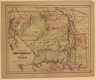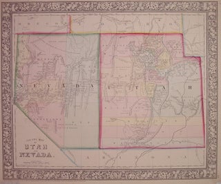
Map of the Territories & Pacific States; to Accompany "Across the Continent"
New York: G.W. & C.B. Colton, 1865. Map. Hand colored engraving. Image measures 14" x 18 1/4". Comes with accompanying text titled "Across the Continent: A Summer's Journey to the Rocky Mountains, the Mormons, and the Pacific States" 8vo, full brown leather, gilt stamped spine (worn at ends), xx + 452 pages + 6 pages of advertising. Springfield, MA: Samuel Bowles & Co., 1866. Second edition with 15 additional pages. Contains ex-libris bookplate, and ownership signature in ink on the..... More