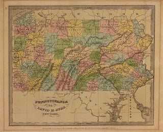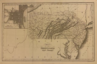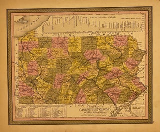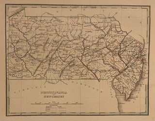
Pennsylvania and New Jersey
Boston: Bradford, Thomas Gamaliel, 1835. Map. Engraving with original hand outline coloring. Image measures 8" x 10". Great map of Pennsylvania and New Jersey divided into counties. Delineates towns, topography and waterways. Minor wear to edges. T.G. Bradford (1802-1887) was a Boston based publisher. He worked as assistant editor of the American Encyclopedia before entering the field of map making. He was best known for his 1835 "A Comprehensive Atlas: Geographical, Historical & Commercial" and his 1838 "Illustrated Atlas Geographical..... More