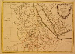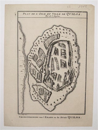
Plan de L'Isle et Ville de Quiloa
Paris: Sibley. Map. Copperplate engraving. Image measures 9 x 5.5". This bird's-eye-view show the East African island of Quiloa, now known as Kilwa Kisiwani in Tanzania. Printed circa 1748, the map shows the fort, settlements, and gardens of the island. It dates to a few decades before the Arab conquest of the island, after which the French built a fort at its northern end. The map is a dark impression in very good condition. Jacques Nicolas Bellin (1703-1772) was the..... More