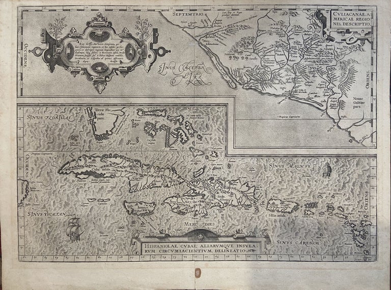
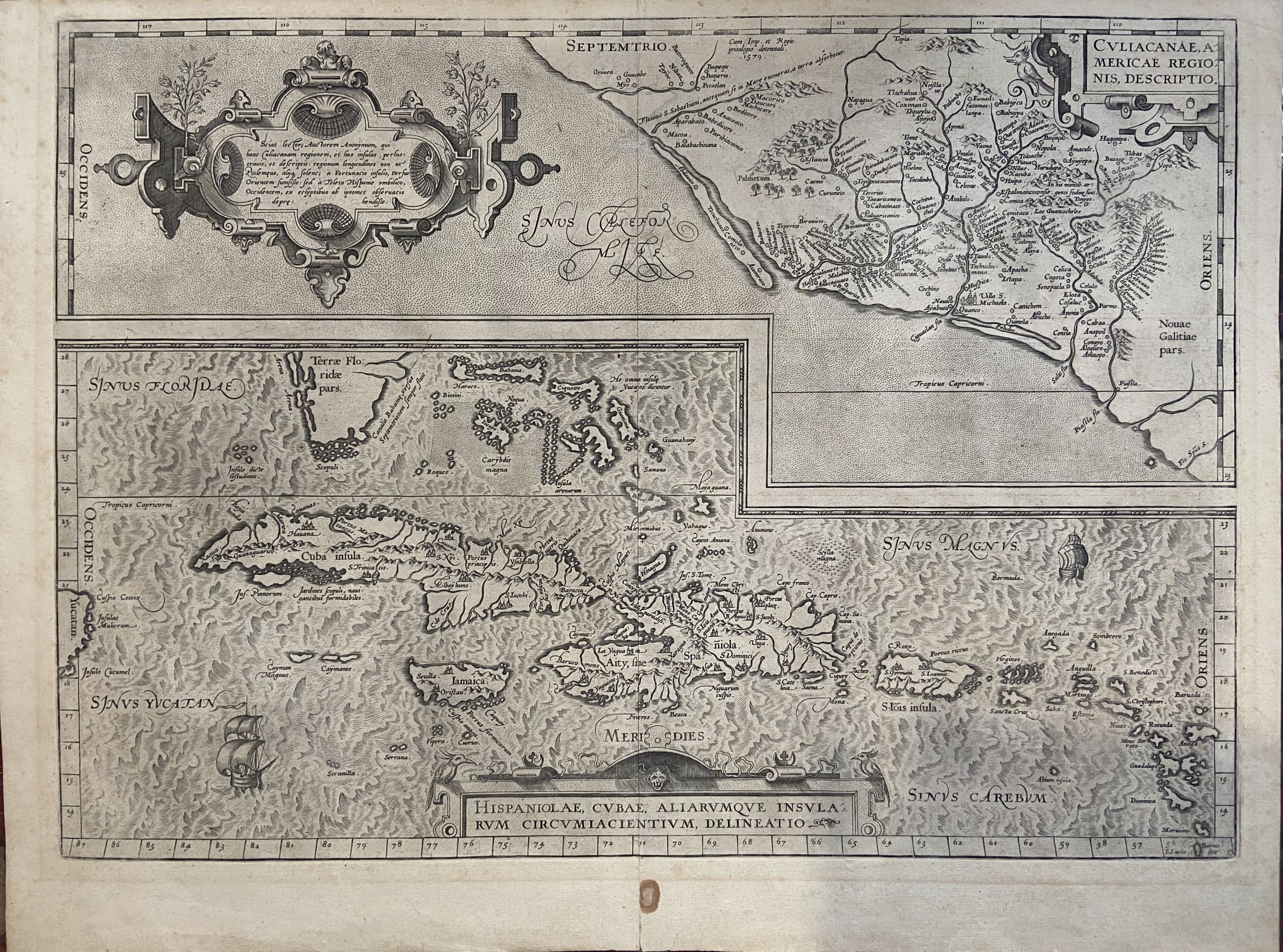
Culiacanae, Americae Regionis, Descriptio / Hispaniolae, Cubae, Aliarumque Insularum Circumiacientium, Delineatio
Antwerp: Abraham Ortelius, 1587.
Map. Uncolored engraving. Image measures 14" x 19.5".
These two maps on one sheet detail areas of western Mexico, above, and the Greater Antilles, below. Ortelius created them from information compiled by other mapmakers, such as Mercator, Guttierez, and Alsons de Sata Cruz. These sources allowed him to include a wealth of detailed information that is mostly if not entirely accurate. Above, the map of western Mexico shows the area around Culiacan and the Spanish settlement of Villa S. Michaels, which was notable in the period for its silver mines. It begins at the Yucatan and extends through the Cayman Magnus and the Caymanes. The map below illustrates the Greater Antilles, including Cuba, Hispaniola, Jamaica, St. Jois Insula (St. Johns), the Bahamas, Virgin Islands, and the Windward Islands, all in impressive detail. The section of South Florida also shows suggestion of the Florida Keys, which was uncommon for these period. A notable error is that the Tropic of Cancer is labelled as the Tropic of Capricorn. A highly decorative note with strapwork and foliage fills the acific Ocean to the left of Mexico and provides information about the upper map. The lower map also has a framed cartouche with birds perched atop it. Two ship illustrations float in the choppy seas around the islands. The map is a first state from the 1587 French edition of Ortelius's "Theatrum Orbis Terrarum." It is in good condition with no chips or tears. Stain at the center seam in the lower margin, not affecting the image, some overall stains. French text on verso. Abraham Ortelius (1527--1598), a Flemish cartographer and geographer, is widely regarded as one of the important and influential cartographers in history. He is known for his "Theatrum Orbis Terrarum," which was the first modern atlas. This map is an uncommon uncolored example of this wonderful map by Ortelius.
Binding: Unbound
Language: English
Price: $1,150.00
Item #239611