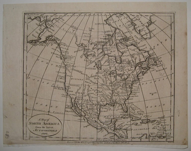
A Map of North America from the Latest Authorities 1802
John Low.
Map. Uncolored engraving. Image measures 7 1/8" x 8.5".
Charming early map of North America, circa 1802. Notes towns, waterways and Indian tribes. Much of the geography is still inaccurately depicted: notably, Greenland is attached to the mainland. Published in John Payne's "A New and Complete System of Universal Geography". Light scattered foxing to margins, original tab insert at bottom edge.
John Payne was a little-known cartographer based in New York in Philadelphia towards the end of the 18th century.
John Low (1763-1809) was a New York based printer and publisher. He is best known for publishing John Payne's "A New and Complete System of Universal Geography" from 1798-1800, with many of the Payne's maps also appearing in Low's "New Encyclopedia", issued from 1805-1811.
Illustrator: John Scoles
Binding: Unbound
Condition: Very Good(+)
Language: English
Price: $250.00
Item #223961