
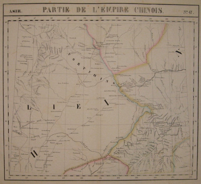


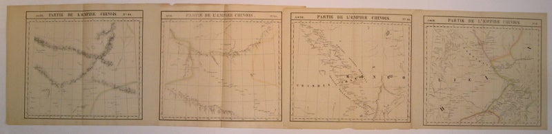
Partie de l'Empire Chinois. Asie. No. 44, 45, 46, 47.
Brussels: Vandermaelen, Phillipe Marie, 1827.
Map (set of 4). Large format lithograph with original hand outline color. Each image measures 18.75" x 20 5/8", 18 5/8" x 20 5/8", 18.5" x 20 3/8",
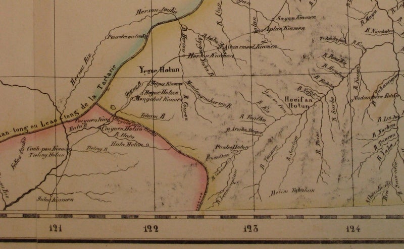
Beautifully detailed set of four regional maps of northern China and southern Mongolia. Mountains are delicately treated with hachure marks and major rivers, waterways and cities are also shown. Notable inclusions from the west to the east: Plate 44 shows the very northwestern tip of China (Xinjiang province) and part of south central Mongolia with Lac Nor and Hami. Plate 45 shows the eastern portion of Xinjiang province and western Mongolia with Karakorum (called here Karakum), the medieval capital of Ghengis Khan and the Mongol Empire. Plate 46 demarcates the tribal regions of Khalkha and Tzakhares Mongolians. Plate 47 shows the western portion of the Wall of China, delineating the border between Tartary and China. Some minor offsetting, several tears and chips to edges. From Vandermaelen's 6 volume "Atlas universel de geographie physique, politique, statistique et mineralogique, sur l'echelle de 1/16411836". Can be combined as gores to form an immense globe. The atlas was the first to map the world on a uniform scale.
Binding: Unbound
Condition: Very Good
Language: English
Price: $600.00
Item #220303