

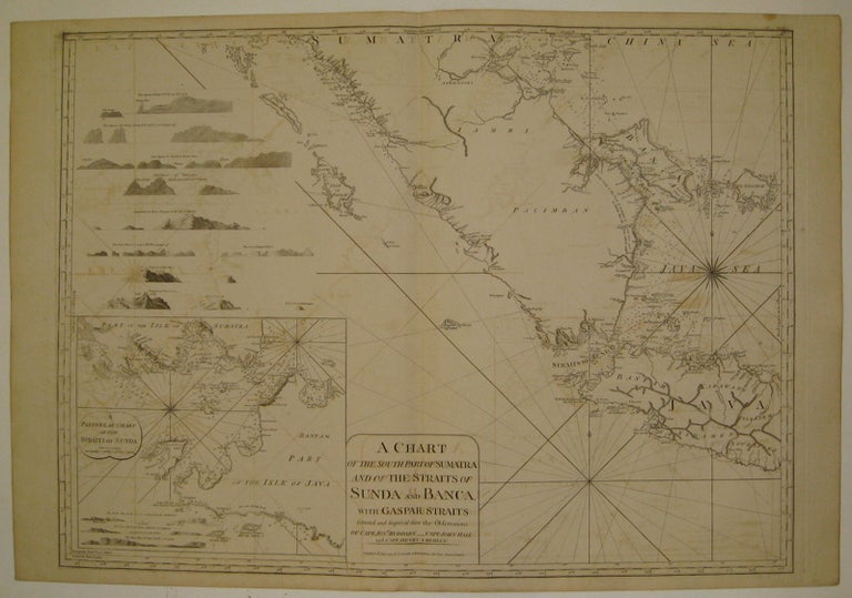
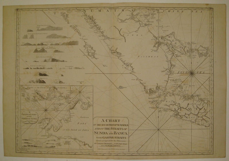
A Chart of the South Part of Sumatra and of the Straits of Sunda and Banca with Gaspar Straits...
London: Laurie & Whittle, 1799.
Sea chart. Uncolored copper plate engraving. Image measures 24" x 32.5".
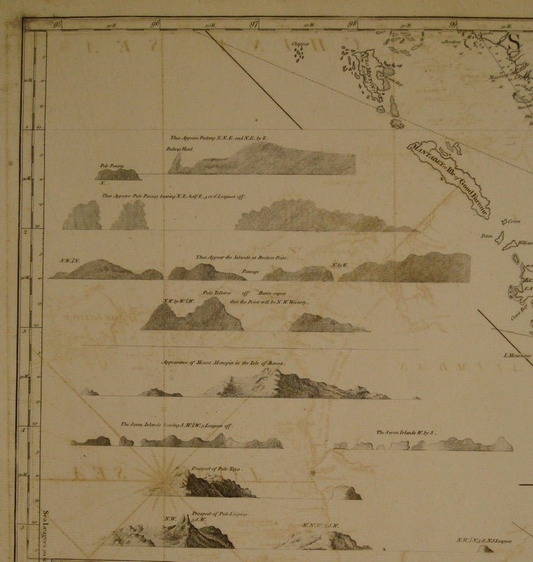
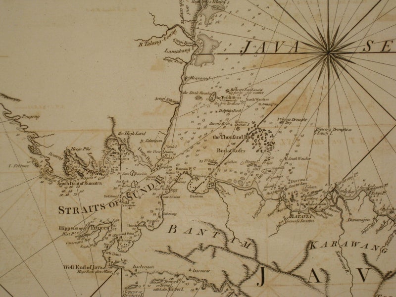
Stunning chart of the southern tip of Sumatra, with the Strait of Sunda and part of Java and the Java Sea. Includes rhumb lines, depths, shoals, a compass rose and an inset map: "A Particular Chart of the Straits of Sunda." The coast lines are further illustrated with with many topographical cross sections. Published in "The East-India Pilot, or Oriental Navigator, on One Hundred and Eighteen Plates: Containing a Complete Collection of Charts and Plans, &c..." (plate 94). Maps are based on the 1745 French "Neptune Oriental" by Jean Baptiste Nicolas Denis d'Apres de Mannevillette. The later English editions include additions by Captain Joseph Huddart, Captain John Hall and Captain Henry Smedley.
Binding: Unbound
Condition: Very Good
Language: English
Price: $2,100.00
Item #220059