

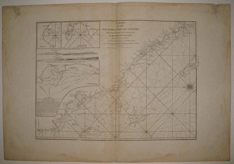
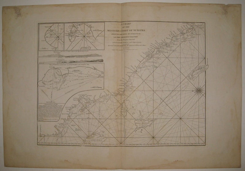
A Chart of the Western Coast of Sumatra from Touroumane to Indrapour with the Adjacent Islands
London: Laurie & Whittle, 1799.
Sea chart. Uncolored copper plate engraving. Image measures 18 7/8" x 26.25".
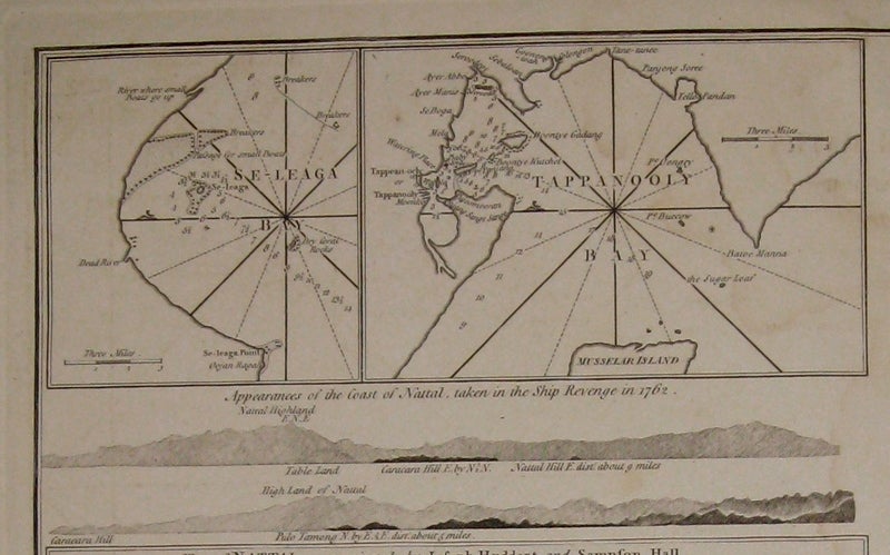
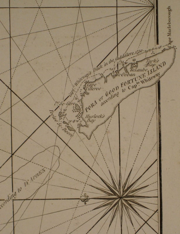
Beautiful chart of the central western coast of Sumatra. Includes rhumb lines, depths and shoals, the paths of previous explorations, a compass rose and three inset maps: "Se-Leaga Bay", "Tappanooly Bay" and "Plan of Nattal", the last of which includes sailing notes by Sampson Hall. The coast lines are further illustrated with with several topographical cross sections. Published in "The East-India Pilot, or Oriental Navigator, on One Hundred and Eighteen Plates: Containing a Complete Collection of Charts and Plans, &c..." (plate 90). Maps are based on the 1745 French "Neptune Oriental" by Jean Baptiste Nicolas Denis d'Apres de Mannevillette. The later English editions include additions by Captain Joseph Huddart and Sampson Hall. Minor dampstaining and offsetting with some stains to upper corners and along centerfold. Full original margins.
Binding: Unbound
Condition: Very Good
Language: English
Price: $850.00
Item #220053